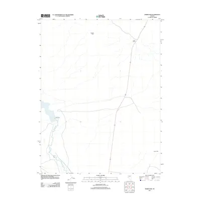
2011 Map of Weber Dam
USGS Topo · Published 2011About this map
Weber Dam anchors this arid Nevada landscape, managing the flow of the Walker River to create the Weber Reservoir. The region is defined by prominent topographical landmarks including the colorful slopes of the Calico Hills to the southeast and the elevated expanse of Painted Mesa to the north. Transportation through this part of Lyon County follows the long, north-south corridor of Long Valley, while local access is maintained by routes such as Little Dam Rd. The map illustrates a high-desert environment where water management infrastructure is the primary driver of development and settlement patterns, contrasting sharply with the surrounding unpopulated valley and mesa terrain.
Find a feature on this map
7 named features on this map. Tap any name to fly to it.
Don’t see what you’re looking for? This feature index may not catch every label — zoom into the map to look around manually.
Map Details
Editions of this 2011 Weber Dam Map
This is the sole edition of this map. No revisions or reprints were ever made.
Other maps of this area

1908 · Carson Sink
USGS Topo · 1:250,000

1909 · Hawthorne
USGS Topo · 1:250,000

1910 · Carson Sink
USGS Topo · 1:250,000

1911 · Hawthorne
USGS Topo · 1:250,000

1915 · Hawthorne
USGS Topo · 1:250,000

1948 · Walker Lake
USGS Topo · 1:250,000

1951 · Allen Springs
USGS Topo · 1:62,500

1951 · Weber Reservoir
USGS Topo · 1:62,500

1957 · Walker Lake
USGS Topo · 1:250,000

1957 · Reno
USGS Topo · 1:250,000