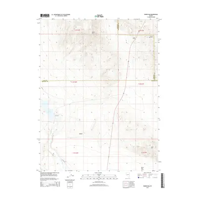
2015 Map of Weber Dam
USGS Topo · Published 2015About this map
The Schurz settlement serves as the primary focal point in this high-desert landscape where the Walker River feeds into the Weber Reservoir. This 2015 U.S. Geological Survey representation captures the vital importance of water management in the Great Basin, anchored by the Weber Dam which regulates flow through the Walker River Valley. The surrounding terrain is defined by dramatic elevation shifts, from the prominent Painted Mesa in the north to the Terrill Mountains and Calico Hills that frame the valley floors.
Find a feature on this map
20 named features on this map. Tap any name to fly to it.
Don’t see what you’re looking for? This feature index may not catch every label — zoom into the map to look around manually.
Map Details
Editions of this 2015 Weber Dam Map
This is the sole edition of this map. No revisions or reprints were ever made.
Other maps of this area

1908 · Carson Sink
USGS Topo · 1:250,000

1909 · Hawthorne
USGS Topo · 1:250,000

1910 · Carson Sink
USGS Topo · 1:250,000

1911 · Hawthorne
USGS Topo · 1:250,000

1915 · Hawthorne
USGS Topo · 1:250,000

1948 · Walker Lake
USGS Topo · 1:250,000

1951 · Allen Springs
USGS Topo · 1:62,500

1951 · Weber Reservoir
USGS Topo · 1:62,500

1957 · Walker Lake
USGS Topo · 1:250,000

1957 · Reno
USGS Topo · 1:250,000