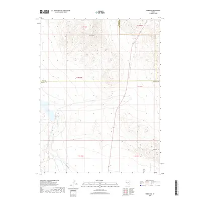
2018 Map of Weber Dam
USGS Topo · Published 2018About this map
Weber Dam stands as the central engineering feature of this desert landscape, impounding the Walker River to create the Weber Reservoir. This 2018 survey reveals the critical role of water management in a region where the Walker River Valley is flanked by the stark elevations of the Terrill Mountains and the Calico Hills. The map provides a detailed view of the terrain's transition from the high, flat expanse of Painted Mesa down into Long Valley, illustrating how the desert floor is carved by natural drainage and managed by man-made infrastructure. Navigational markers like Little Dam Rd trace the path toward the reservoir, while complex boundary lines demarcate the intersections of Churchill, Lyon, and Mineral Counties.
Find a feature on this map
18 named features on this map. Tap any name to fly to it.
Don’t see what you’re looking for? This feature index may not catch every label — zoom into the map to look around manually.
Map Details
Editions of this 2018 Weber Dam Map
This is the sole edition of this map. No revisions or reprints were ever made.
Other maps of this area

1908 · Carson Sink
USGS Topo · 1:250,000

1909 · Hawthorne
USGS Topo · 1:250,000

1910 · Carson Sink
USGS Topo · 1:250,000

1911 · Hawthorne
USGS Topo · 1:250,000

1915 · Hawthorne
USGS Topo · 1:250,000

1948 · Walker Lake
USGS Topo · 1:250,000

1951 · Allen Springs
USGS Topo · 1:62,500

1951 · Weber Reservoir
USGS Topo · 1:62,500

1957 · Walker Lake
USGS Topo · 1:250,000

1957 · Reno
USGS Topo · 1:250,000