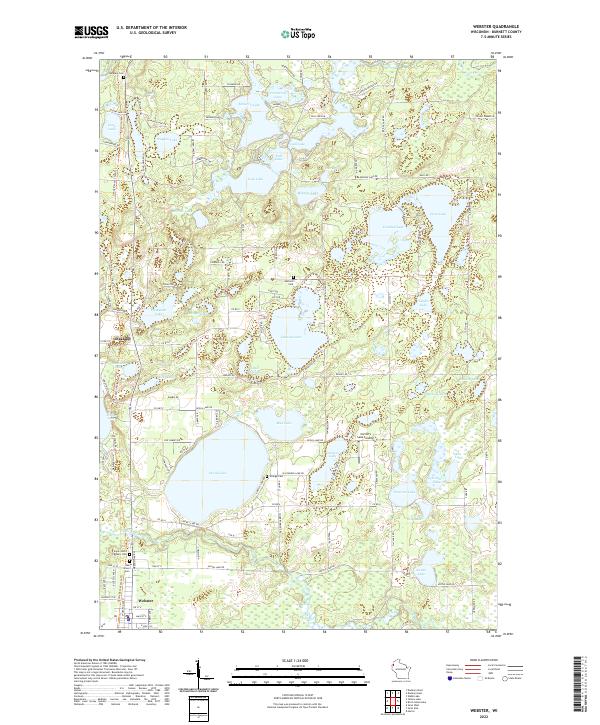
2022 Map of Webster
USGS Topo · Published 2022About this map
Webster serves as the primary hub in this portion of Burnett County, situated at the southern terminus of the Gandy Dancer State Trl and along the winding Yellow River. The landscape is a complex network of glacial kettle lakes, ranging from the expansive Devils Lake and Johnson Lake to smaller, scattered bodies of water like Minnow Lake and Ham Lake. This density of water indicates a region long-defined by recreation and seasonal camps, evidenced by established points like Connor's Lake Landing and Minerva Lndg.
Find a feature on this map
107 named features on this map. Tap any name to fly to it.
Don’t see what you’re looking for? This feature index may not catch every label — zoom into the map to look around manually.
Map Details
Editions of this 2022 Webster Map
This is the sole edition of this map. No revisions or reprints were ever made.
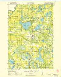
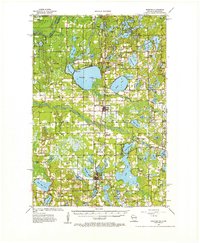
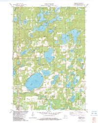
Historical Maps of Oakland Through Time
4 maps found