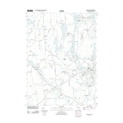
2012 Map of Webster
USGS Topo · Published 2012About this map
Webster and Dudley define the heart of this landscape, where the French River and Quinebaug River historically powered New England’s industrial expansion. In the early 21st century, these waters sustain a dense cluster of named neighborhoods and mill villages, including Merino Village, Chaseville, and Fennerville. The campus of Nichols College sits atop a rise near the town center, surrounded by local landmarks like the Nichols Golf Course and the Corbin Cem.
Find a feature on this map
232 named features on this map. Tap any name to fly to it.
Don’t see what you’re looking for? This feature index may not catch every label — zoom into the map to look around manually.
Map Details
Editions of this 2012 Webster Map
This is the sole edition of this map. No revisions or reprints were ever made.
Other maps of this area

1887 · Brookfield
USGS Topo · 1:62,500

1889 · Webster
USGS Topo · 1:62,500

1889 · Putnam
USGS Topo · 1:62,500

1890 · Brookfield
USGS Topo · 1:62,500

1892 · Woodstock
USGS Topo · 1:62,500

1892 · Webster
USGS Topo · 1:62,500

1893 · Putnam
USGS Topo · 1:62,500

1893 · Brookfield
USGS Topo · 1:62,500

1908 · Quinsigamond
USGS Topo · 1:125,000

1908 · Ware
USGS Topo · 1:125,000