Loading...
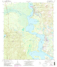
Loading map...2024 Map of Welaka
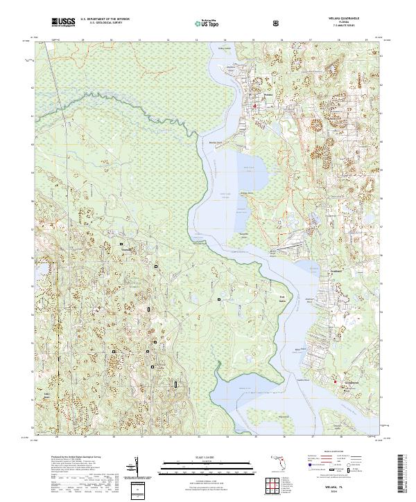
USGS Topo · Published 2024About this map
The Saint Johns River anchors this landscape as it widens into Little Lake George, a critical waterway for Putnam and Marion counties. On the eastern shore, the town of Welaka and the extensive Welaka National Fish Hatchery mark a region defined by its connection to the river and forest. The riverbank is dotted with several smaller settlements, including Fruitland, Georgetown, and the historic site of Fort Gates, which sits across from the protected Little Lake George Wilderness.
Find a feature on this map
97 named features on this map. Tap any name to fly to it.
Don’t see what you’re looking for? This feature index may not catch every label — zoom into the map to look around manually.
Map Details
Date Portrayed2024
Date Published2024
PublisherU.S. Geological Survey
Map TypeTopographic
Scale1:24000
Physical Dimensions24 x 29 inches
Editions of this 2024 Welaka Map
This is the sole edition of this map. No revisions or reprints were ever made.
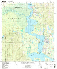
Historical Maps of Fruitland Through Time
Featured Locations
Source Details
SourceU.S. Geological Survey
CopyrightPublic Domain