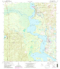
1970 Map of Welaka
USGS Topo · Published 1986About this map
The St Johns River serves as the central artery for this riverfront landscape, where the water widens into the northern reaches of Little Lake George. The town of Welaka occupies the eastern bank, supported by a National Fish Hatchery and proximity to Welaka Springs. Across the water, the Ocala National Forest dominates the western shore, punctuated by the small settlement of Norwalk and the historic river access at Norwalk Landing.
Find a feature on this map
40 named features on this map. Tap any name to fly to it.
Don’t see what you’re looking for? This feature index may not catch every label — zoom into the map to look around manually.
Map Details
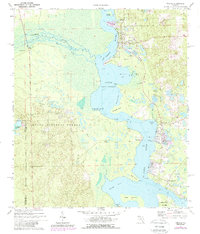
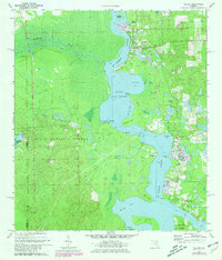
Editions of this 1970 Welaka Map
4 editions found

Other maps of this area

1912 · Palatka
USGS Topo · 1:48,000

1915 · Palatka
USGS Topo · 1:62,500

1915 · Interlachen
USGS Topo · 1:48,000

1916 · Interlachen
USGS Topo · 1:62,500

1944 · Interlachen
USGS Topo · 1:62,500

1949 · Rodman
USGS Topo · 1:24,000

1949 · Interlachen
USGS Topo · 1:62,500

1954 · Daytona Beach
USGS Topo · 1:250,000

1958 · Daytona Beach
USGS Topo · 1:250,000

1964 · Daytona Beach
USGS Topo · 1:250,000