
1949 Map of Rodman
USGS Topo · Published 1953About this map
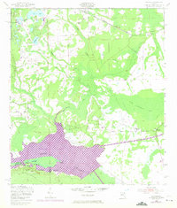
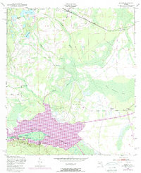
Ocala National Forest anchors the southwestern corner of this survey, where the Oklawaha River forms a winding natural boundary between Putnam and Marion Counties. The landscape is dominated by a complex network of wetlands and namesake landmarks like The Slash and Cow Heaven Bay, reflecting the seasonal hydrology of mid-century Florida before large-scale drainage projects. Local industry is clearly marked by the presence of a sawmill near the center of the sheet and another in Hollister, illustrating the importance of timber to the regional economy.
Find a feature on this map
24 named features on this map. Tap any name to fly to it.
Don’t see what you’re looking for? This feature index may not catch every label — zoom into the map to look around manually.
Map Details
Editions of this 1949 Rodman Map
3 editions found
Other maps of this area

1912 · Palatka
USGS Topo · 1:48,000

1915 · Palatka
USGS Topo · 1:62,500

1915 · Interlachen
USGS Topo · 1:48,000

1916 · Interlachen
USGS Topo · 1:62,500

1944 · Interlachen
USGS Topo · 1:62,500

1949 · Keuka
USGS Topo · 1:24,000

1949 · Baywood
USGS Topo · 1:24,000
1949 · Putnam Hall
USGS Topo · 1:24,000

1949 · Interlachen
USGS Topo · 1:62,500

1954 · Daytona Beach
USGS Topo · 1:250,000