
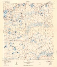
1949 Map of Keuka
USGS Topo · Published 1953About this map
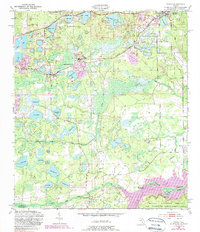
The Oklawaha River corridor and its diverse water systems define this late 1940s landscape, where riverine landings and inland rail settlements coexist. In the northern reaches, Interlachen and Edgar serve as centers of local life, linked by the Atlantic Coast Line railroad. This transportation network is anchored by social landmarks such as the Edgar Community Ch and Oak Grove Sch, while the southern boundary follows the Putnam and Marion County line near Orange Springs.
Find a feature on this map
50 named features on this map. Tap any name to fly to it.
Don’t see what you’re looking for? This feature index may not catch every label — zoom into the map to look around manually.
Map Details
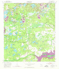
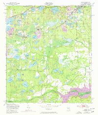
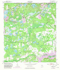
Editions of this 1949 Keuka Map
6 editions found
Other maps of this area

1893 · Citra
USGS Topo · 1:62,500

1895 · Citra
USGS Topo · 1:62,500

1915 · Interlachen
USGS Topo · 1:48,000

1916 · Interlachen
USGS Topo · 1:62,500

1938 · Hawthorn
USGS Topo · 1:48,000

1943 · Hawthorn
USGS Topo · 1:62,500

1944 · Interlachen
USGS Topo · 1:62,500

1949 · Baywood
USGS Topo · 1:24,000

1949 · Rodman
USGS Topo · 1:24,000
1949 · Putnam Hall
USGS Topo · 1:24,000