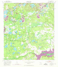
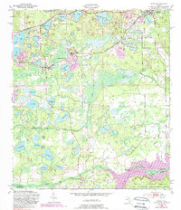
1949 Map of Keuka
USGS Topo · Published 1972About this map
Edgar and Keuka sit within a landscape defined by an intricate network of sinkhole lakes and wetlands at the transition from the mid-century into the 1970s. The settlement at Edgar is particularly notable for its concentration of community infrastructure, including the Edgar Community Church, while smaller rural clusters like Orange Springs and Kenwood anchor the southern reaches. The 1970 photorevisions highlight industrial and municipal growth, specifically the Sewage Disposal and Substation facilities, contrasting with the traditional rural character of family-named landmarks like Higginbotham Lake and Skinner Lake. South of the Putnam and Marion County line, the Ocklawaha River and the Ocklawaha Lake Reservation dominate the terrain, where Fort Brook Landing serves as a reminder of the river's historic role as a transportation artery before the area was deeply integrated into the Seaboard Railroad network.
Find a feature on this map
54 named features on this map. Tap any name to fly to it.
Don’t see what you’re looking for? This feature index may not catch every label — zoom into the map to look around manually.
Map Details
Editions of this 1949 Keuka Map
6 editions found
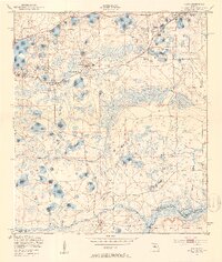
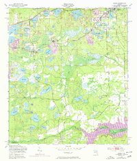
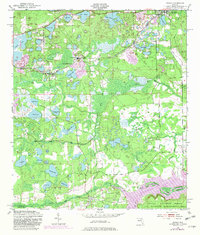
Other maps of this area

1893 · Citra
USGS Topo · 1:62,500

1895 · Citra
USGS Topo · 1:62,500

1915 · Interlachen
USGS Topo · 1:48,000

1916 · Interlachen
USGS Topo · 1:62,500

1938 · Hawthorn
USGS Topo · 1:48,000

1943 · Hawthorn
USGS Topo · 1:62,500

1944 · Interlachen
USGS Topo · 1:62,500

1949 · Keuka
USGS Topo · 1:24,000

1949 · Baywood
USGS Topo · 1:24,000

1949 · Rodman
USGS Topo · 1:24,000