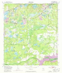
1949 Map of Keuka
USGS Topo · Published 1972About this map
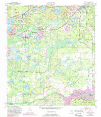
Interlachen and the surrounding lake country of Putnam and Marion Counties are documented in this mid-century survey, which reveals a landscape defined by water and early transportation networks. The Seaboard Coast Line railroad cuts through the northern half, connecting smaller settlements like Edgar and Johnson to the wider region. In the south, the Oklawaha River forms a natural boundary near Orange Springs, while the northern edge of the Ocala National Forest begins to emerge.
Find a feature on this map
54 named features on this map. Tap any name to fly to it.
Don’t see what you’re looking for? This feature index may not catch every label — zoom into the map to look around manually.
Map Details
Editions of this 1949 Keuka Map
6 editions found
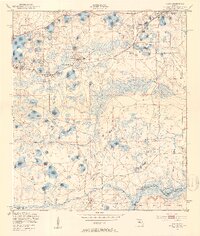
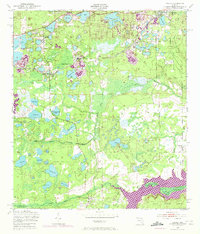
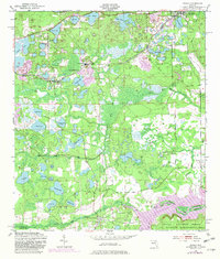
Other maps of this area

1893 · Citra
USGS Topo · 1:62,500

1895 · Citra
USGS Topo · 1:62,500

1915 · Interlachen
USGS Topo · 1:48,000

1916 · Interlachen
USGS Topo · 1:62,500

1938 · Hawthorn
USGS Topo · 1:48,000

1943 · Hawthorn
USGS Topo · 1:62,500

1944 · Interlachen
USGS Topo · 1:62,500

1949 · Keuka
USGS Topo · 1:24,000

1949 · Baywood
USGS Topo · 1:24,000

1949 · Rodman
USGS Topo · 1:24,000