
1949 Map of Interlachen
USGS Topo · Published 1955About this map
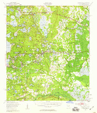
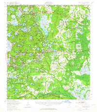
Interlachen serves as the central hub for this lake-strewn landscape in the late 1940s, situated at the junction of the Atlantic Coast Line and a primary highway. The area is defined by a dense network of water bodies and marshlands, ranging from the expansive Lake Grandin to specialized terrain such as Putnam Prairie and Goodson Prairie. Industry is represented by the Peat Cuttings near Florahome, while the southern reaches of the map extend into the Ocala National Forest. Local community life is documented through scattered landmarks like Mt Bethel Ch, Oak Grove Sch, and several small settlements including Grandin, Hollister, and Johnson. The railroad infrastructure of the Southern Ry and Atlantic Coast Line provides the backbone for these rural outposts, illustrating a transition from wetland wilderness to established citrus and timber-era hamlets.
Find a feature on this map
112 named features on this map. Tap any name to fly to it.
Don’t see what you’re looking for? This feature index may not catch every label — zoom into the map to look around manually.
Map Details
Editions of this 1949 Interlachen Map
3 editions found
Other maps of this area

1893 · Citra
USGS Topo · 1:62,500

1895 · Citra
USGS Topo · 1:62,500

1912 · Palatka
USGS Topo · 1:48,000

1915 · Palatka
USGS Topo · 1:62,500

1915 · Interlachen
USGS Topo · 1:48,000

1916 · Interlachen
USGS Topo · 1:62,500

1938 · Hawthorn
USGS Topo · 1:48,000

1941 · Starke
USGS Topo · 1:62,500

1942 · Ates Creek
USGS Topo · 1:62,500

1943 · Hawthorn
USGS Topo · 1:62,500