
1970 Map of Welaka
USGS Topo · Published 1973About this map
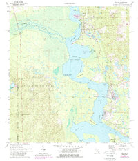
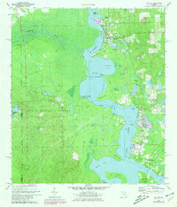
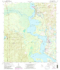
The St Johns River dominates this landscape, serving as a vital waterway that winds past early riverside settlements and the expansive Ocala National Forest. In the late 20th century, this area maintained its identity through small communities like Welaka, Fruitland, and Georgetown. The presence of the National Fish Hatchery and several springs, including Welaka Springs and Beecher Spring, highlights the region's reliance on its unique hydrologic environment. Toward the southern end of the sheet, the river widens into Little Lake George, a major navigational feature bordered by numerous coves such as Mud Creek Cove and Fruitland Cove. Historical landing points like Norwalk Landing and the location of Fort Gates suggest a long-standing pattern of river-based commerce and strategic positioning. The interior is marked by a network of jeep trails and firebreaks, reflecting the management of the neighboring forest and the relatively undeveloped nature of the terrain away from the river banks.
Find a feature on this map
39 named features on this map. Tap any name to fly to it.
Don’t see what you’re looking for? This feature index may not catch every label — zoom into the map to look around manually.
Map Details
Editions of this 1970 Welaka Map
4 editions found
Other maps of this area

1912 · Palatka
USGS Topo · 1:48,000

1915 · Palatka
USGS Topo · 1:62,500

1915 · Interlachen
USGS Topo · 1:48,000

1916 · Interlachen
USGS Topo · 1:62,500

1944 · Interlachen
USGS Topo · 1:62,500

1949 · Rodman
USGS Topo · 1:24,000

1949 · Interlachen
USGS Topo · 1:62,500

1954 · Daytona Beach
USGS Topo · 1:250,000

1958 · Daytona Beach
USGS Topo · 1:250,000

1964 · Daytona Beach
USGS Topo · 1:250,000