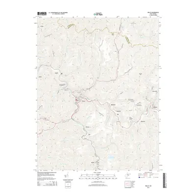
2014 Map of Welch
USGS Topo · Published 2014About this map
The mountain town of Welch sits at the confluence of Tug Fork and Elkhorn Cr, serving as the central hub for a network of mining-era settlements across the hollows of McDowell County. The landscape is defined by the steep elevation of Indian Ridge and Belcher Mtn, where roads like WV-16 and Us-52 wind through narrow valleys connecting industrial communities such as Gary, Havaco, and Superior. This modern survey reveals the persistent footprint of the regional coal-mining legacy, documented through numerous branch hollows and specialized infrastructure like the Welch Municipal Airport. Local history and genealogy are anchored by specific community landmarks, including the Old Belcher Mtn Community Cem and New Belcher Mtn Community Cem. The map provides a clear picture of the transport patterns along the river bends, from the residential streets of Hemphill to the outlying settlements at Big Four and Kimball.
Find a feature on this map
95 named features on this map. Tap any name to fly to it.
Don’t see what you’re looking for? This feature index may not catch every label — zoom into the map to look around manually.
Map Details
Editions of this 2014 Welch Map
This is the sole edition of this map. No revisions or reprints were ever made.
Other maps of this area

1887 · Pocahontas
USGS Topo · 1:125,000

1891 · Tazewell
USGS Topo · 1:125,000

1891 · Pocahontas
USGS Topo · 1:125,000

1891 · Oceana
USGS Topo · 1:125,000

1891 · Raleigh
USGS Topo · 1:125,000

1893 · Oceana
USGS Topo · 1:125,000

1894 · Pocahontas
USGS Topo · 1:125,000

1895 · Tazewell
USGS Topo · 1:125,000

1895 · Pocahontas
USGS Topo · 1:125,000

1897 · Tazewell
USGS Topo · 1:125,000