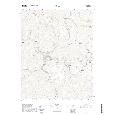
2019 Map of Welch
USGS Topo · Published 2019About this map
Welch serves as the central hub of this coal-country landscape in McDowell County, where narrow valleys dictate the layout of industrial and residential life. Settlements such as Hemphill, Maitland, and Superior follow the winding course of Elkhorn Cr, while Havaco and Jed are situated along the Rockhouse Br. The terrain is defined by steep ridges like Indian Ridge and Belcher Mtn, with local history preserved in the New Belcher Mountain Community Cem and Old Belcher Mountain Community Cem. Transportation is heavily influenced by the topography, with Davy-Roderfield Rd and the Welch Municipal Airport providing key connections. The map illustrates the dense clustering of communities like Wilcoe and Gary in the southern portion of the quadrangle, reflecting the region's enduring reliance on the river and creek bottoms for infrastructure.
Find a feature on this map
98 named features on this map. Tap any name to fly to it.
Don’t see what you’re looking for? This feature index may not catch every label — zoom into the map to look around manually.
Map Details
Editions of this 2019 Welch Map
This is the sole edition of this map. No revisions or reprints were ever made.
Other maps of this area

1887 · Pocahontas
USGS Topo · 1:125,000

1891 · Tazewell
USGS Topo · 1:125,000

1891 · Pocahontas
USGS Topo · 1:125,000

1891 · Oceana
USGS Topo · 1:125,000

1891 · Raleigh
USGS Topo · 1:125,000

1893 · Oceana
USGS Topo · 1:125,000

1894 · Pocahontas
USGS Topo · 1:125,000

1895 · Tazewell
USGS Topo · 1:125,000

1895 · Pocahontas
USGS Topo · 1:125,000

1897 · Tazewell
USGS Topo · 1:125,000