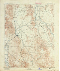
1891 Map of Wellington
USGS Topo · Published 1891About this map
Smith Valley and Mason Valley are the agricultural and transit anchors of this 1890 survey, where the West Walker River cuts through the high desert terrain of the California-Nevada border. The map captures a period of early mineral exploration and scattered ranching settlements, with the Ludwig Mine and a local Quarry indicating the industrial activities of the era. High-elevation points like Mount Etna and Desert Creek Peak dominate the skyline, while the transition from the Pine Nut Mountains to the broad Antelope Valley illustrates the region's varied geography.
Find a feature on this map
38 named features on this map. Tap any name to fly to it.
Don’t see what you’re looking for? This feature index may not catch every label — zoom into the map to look around manually.
Map Details
Editions of this 1891 Wellington Map
This is the sole edition of this map. No revisions or reprints were ever made.
Other maps of this area
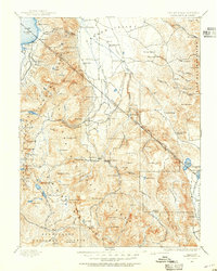
1889 · Markleeville
USGS Topo · 1:125,000
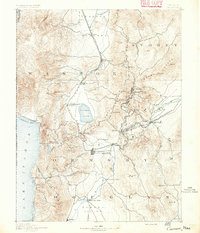
1891 · Carson
USGS Topo · 1:125,000
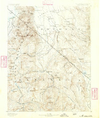
1891 · Markleeville
USGS Topo · 1:125,000
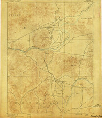
1891 · Wabuska
USGS Topo · 1:125,000
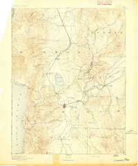
1893 · Carson
USGS Topo · 1:125,000
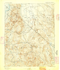
1893 · Markleeville
USGS Topo · 1:125,000
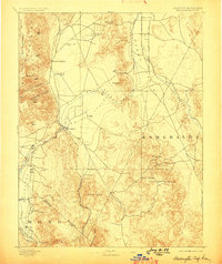
1893 · Wellington
USGS Topo · 1:125,000
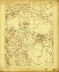
1894 · Wabuska
USGS Topo · 1:125,000
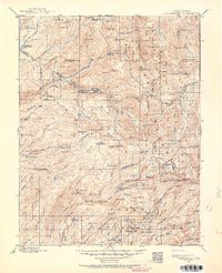
1896 · Dardanelles
USGS Topo · 1:125,000
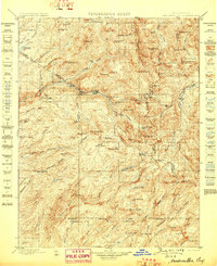
1898 · Dardanelles
USGS Topo · 1:125,000