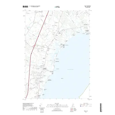
2018 Map of Wells
USGS Topo · Published 2018About this map
The Webhannet River and its expansive salt marshes define the central coastline of this Maine survey, separating the mainland from the barrier beaches of Wells Beach and Drakes Island. Inland, the terrain is shaped by the winding courses of the Merriland River and Mousam River, which flow through a landscape marked by small settlements and family-named corners such as Charles Chase Corner and Cozy Corners.
Find a feature on this map
130 named features on this map. Tap any name to fly to it.
Don’t see what you’re looking for? This feature index may not catch every label — zoom into the map to look around manually.
Map Details
Editions of this 2018 Wells Map
This is the sole edition of this map. No revisions or reprints were ever made.
Other maps of this area

1891 · Biddeford
USGS Topo · 1:62,500

1891 · Kennebunk
USGS Topo · 1:62,500

1893 · Kennebunk
USGS Topo · 1:62,500

1893 · York
USGS Topo · 1:62,500

1893 · Biddeford
USGS Topo · 1:62,500

1898 · Kennebunk
USGS Topo · 1:62,500

1920 · York
USGS Topo · 1:62,500

1941 · Biddeford
USGS Topo · 1:62,500

1941 · Kennebunk
USGS Topo · 1:62,500

1944 · Wells
USGS Topo · 1:24,000