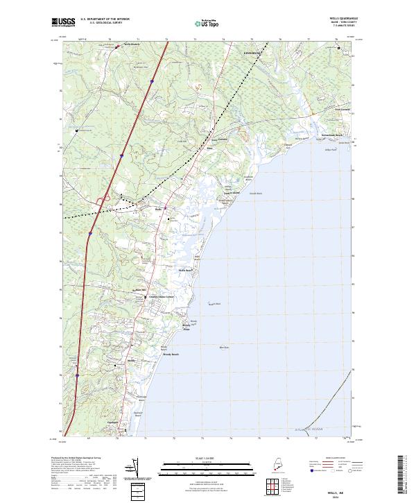
2024 Map of Wells
USGS Topo · Published 2024About this map
The Rachel Carson National Wildlife Refuge dominates this coastal landscape, protecting a complex system of salt marshes and tidal estuaries where the Webhannet River and Mousam River meet the Atlantic Ocean. The settlement pattern reflects Maine’s maritime and agricultural heritage, from the bustling corridors of Wells and Ogunquit to smaller residential clusters at Charles Chase Corner and Cozy Corners.
Find a feature on this map
133 named features on this map. Tap any name to fly to it.
Don’t see what you’re looking for? This feature index may not catch every label — zoom into the map to look around manually.
Map Details
Editions of this 2024 Wells Map
This is the sole edition of this map. No revisions or reprints were ever made.
Other maps of this area

1891 · Biddeford
USGS Topo · 1:62,500

1891 · Kennebunk
USGS Topo · 1:62,500

1893 · Kennebunk
USGS Topo · 1:62,500

1893 · York
USGS Topo · 1:62,500

1893 · Biddeford
USGS Topo · 1:62,500

1898 · Kennebunk
USGS Topo · 1:62,500

1920 · York
USGS Topo · 1:62,500

1941 · Biddeford
USGS Topo · 1:62,500

1941 · Kennebunk
USGS Topo · 1:62,500

1944 · Wells
USGS Topo · 1:24,000