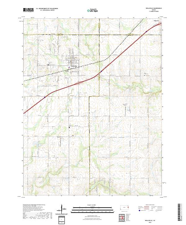
2022 Map of Wellsville
USGS Topo · Published 2022About this map
Wellsville serves as a primary center of activity in this eastern Kansas landscape, situated near the intersection of several county lines where Franklin, Douglas, Miami, and Johnson counties meet. The town's grid is surrounded by a dense network of local roads such as Virginia Rd and Utah Rd, illustrating the transition from town center to established farmsteads. The area is defined by its water systems, particularly the drainages of Walnut Cr and Hickory Cr, which create a varied topography across the prairie. Local history is anchored by several burial sites, including Wellsville Cem, Walnut Creek Cem, and Rock Creek Cem. Aviation interest is evident in the presence of both Amar Farms Airport and Hartland Airport, highlighting the region's blend of traditional agriculture and modern infrastructure.
Find a feature on this map
81 named features on this map. Tap any name to fly to it.
Don’t see what you’re looking for? This feature index may not catch every label — zoom into the map to look around manually.
Map Details
Editions of this 2022 Wellsville Map
This is the sole edition of this map. No revisions or reprints were ever made.