Old Maps of Edgerton, Kansas
Explore 35 old maps of Edgerton, spanning from 1885 to today. These high-resolution historic maps reveal how streets, neighborhoods, landmarks, and natural features evolved over time — perfect for genealogy, metal detecting, research, and local history exploration.
What you can do with these maps:
- See how Edgerton changed over time: Compare historical maps to modern-day views to trace roads, homesites, rail lines & more.
- View detailed metadata: Each map includes creators, publishers, year, scale, and archive source.
- Overlay maps with satellite & LiDAR: Visualize the past alongside modern tools to explore terrain & human change.
- Trusted historical sources: Maps sourced from the USGS, Library of Congress, and other archives.
- Access maps your way: View online, download high-res files, or order prints for personal or research use.
Start exploring old maps of Edgerton to uncover forgotten places, hidden landmarks, and the deep history beneath your feet.
Edgerton, KS maps
(35)- 1885 Map of Lawrence, 1957 Print
 1885 Lawrence1957 Print · USGSEastern Kansas thrived during the mid-1880s as a vital corridor of rail-driven commerce and river valley agriculture. Genealogists and historians can trace old homesteads near the Kansas River and identify early township centers like Ottawa, Eudora, and Vinland.
 - 1887 Map of Olathe
 1887 Olathe1887 Print · USGSEastern Kansas and the Missouri borderlands were being transformed by rail during the 1880s. Genealogists and historians can trace early town sites and railroad corridors like the Kansas City Clinton and Springfield Railroad and settlements from Lenexa to Osawatomie.
 - 1889 Map of Lawrence
 1889 Lawrence1889 Print · USGSEastern Kansas thrived as a rail-and-river hub in the late nineteenth century, as documented in this detailed survey. Genealogists can trace family roots through early settlements like Clinton, Vinland, and Eudora or locate land near the Marais Des Cygnes River.6 unique versions available
 - 1893 Map of Olathe
 1893 Olathe1893 Print · USGSThe Kansas-Missouri border thrived during the late nineteenth century as a hub for expanding railroads and prairie commerce. Genealogists and historians can trace the early rail networks and locate frontier settlements like New Santa Fe, Olathe, and Paola.6 unique versions available
 - 1947 Map of Lawrence, 1954 Print
 1947 Lawrence1954 Print · USGSEastern Kansas and western Missouri thrive in the late 1940s, showing a landscape defined by major river valleys and a dense railway network. Genealogists can trace family settlements from Lawrence to Greenwood and locate landmarks like Olathe Navy and Lake Lotawana.
 - 1950 Map of Lawrence
 1950 Lawrence1950 Print · USGSMid-century Kansas and Missouri come alive in this map of the river-valley corridors just as the interstate era was beginning. Researchers can trace the legacy of major rail lines like the Union Pacific RR and locate ancestral roots in towns from Lawrence to Harrisonville.
 - 1956 Map of Wellsville, 1957 Print
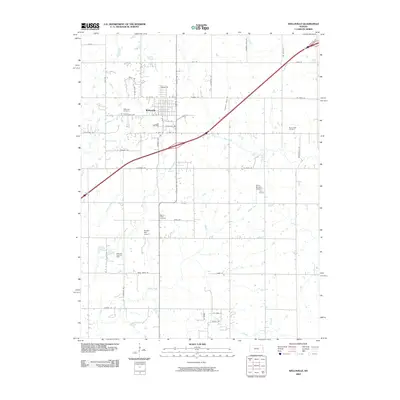
 1956 Wellsville1957 Print · USGSWellsville was a thriving railroad and agricultural hub in the mid-1950s, centered on the Santa Fe and Topeka Atchison line. Genealogists and historians can trace rural family roots through the Rock Creek Sch and cemeteries like Walnut Creek Cem.2 unique versions available
 - 1956 Map of Edgerton, 1958 Print
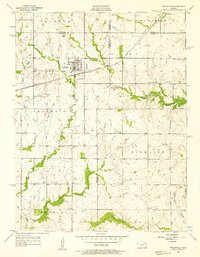
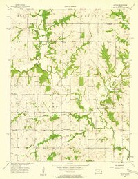
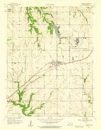
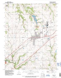
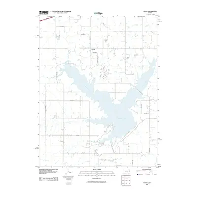
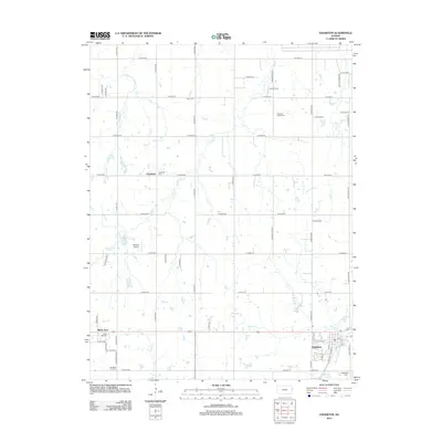
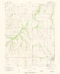 1956 Edgerton1958 Print · USGSThe Douglas and Johnson County line was a landscape of small farm settlements and rail hubs during the mid-fifties. Researchers can locate family landmarks like Round Oak Sch, the Pleasant Valley Cem, and the industry at Edgerton.3 unique versions available
 - 1956 Map of Lawrence, 1967 Print
 1956 Lawrence1967 Print · USGSEastern Kansas and the Missouri border country are captured here during the mid-century transition to the interstate era. Genealogists and local historians can trace family-named terrain like Summers Mound and the footprint of Sunflower Ordnance Works near Baldwin City.4 unique versions available
 - 1957 Map of Antioch, 1958 Print
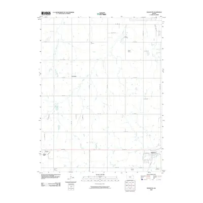
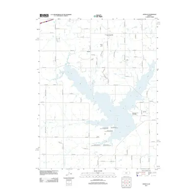
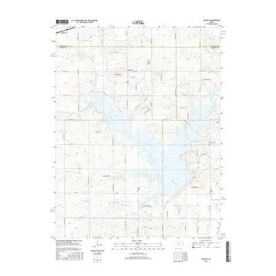
 1957 Antioch1958 Print · USGSNortheast Kansas rural life is captured here in the late fifties, where the border of Johnson and Miami counties meets. Genealogists and local historians can trace the locations of several country schoolhouses and churches, including North Windy Sch, Scott Valley Sch, and the Home Holding Cem.2 unique versions available
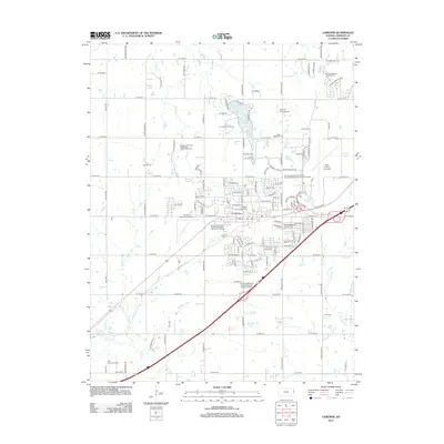
 - 1957 Map of Gardner, 1958 Print
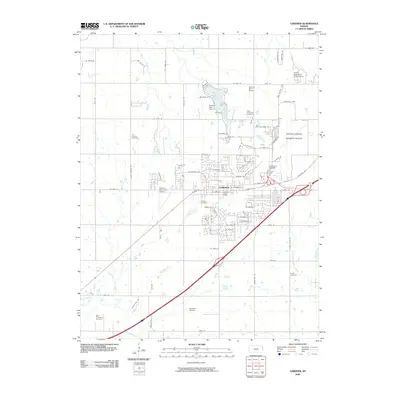
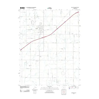
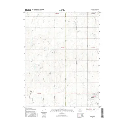
 1957 Gardner1958 Print · USGSJohnson County was transitioning into a strategic military and aviation corridor during the late fifties. Researchers can locate the US Naval Air Station, trace the Atchison Topeka and Santa Fe rail line, and find local landmarks like Lanesfield Sch.3 unique versions available
 - 1961 Map of Lawrence
 1961 Lawrence1961 Print · USGSThe Kansas-Missouri borderland shows its mid-century transition from a rail-dependent agricultural region to a suburbanizing landscape. Genealogists can trace family footprints through numerous Cem sites and distinctive terrain landmarks like Graves Mound and Summers Mound.
 - 1983 Map of Olathe, 1984 Print
 1983 Olathe1984 Print · USGSThe Kansas-Missouri borderlands hum with suburban growth and historic transit routes in the early eighties. Researchers can trace the Santa Fe Trail across a landscape featuring Richards-Gebaur Air Force Base and Hillsdale Lake.
 - 1983 Map of Lawrence, 1984 Print
 1983 Lawrence1984 Print · USGSEastern Kansas in the early eighties shows a landscape of growing reservoirs and historic rail towns. Genealogists and historians can trace routes through Topeka and Ottawa, or locate smaller sites like Highland Cem and the settlement of Vassar.
 - 1991 Map of Gardner, 1996 Print
 1991 Gardner1996 Print · USGSGardner and the surrounding townships are captured during a period of significant military and civic evolution. Researchers can trace the layout of the US Naval Air Station (Inactive) and find family sites at St Columbia Cem or Fuller Cem.
 - 2009 Map of Wellsville, 2009 Print
 2009 Wellsville2009 Print · USGSCovers Edgerton, including Wellsville, Johnson County, and other nearby areas
 - 2009 Map of Edgerton, 2009 Print
 2009 Edgerton2009 Print · USGSCovers Edgerton, including De Soto, Black Jack, and other nearby areas
 - 2009 Map of Gardner, 2009 Print
 2009 Gardner2009 Print · USGSCovers Edgerton, including Olathe, Gardner, and other nearby areas
 - 2010 Map of Antioch, 2010 Print
 2010 Antioch2010 Print · USGSCovers Edgerton, including Antioch, Johnson County, and other nearby areas
 - 2012 Map of Gardner, 2012 Print
 2012 Gardner2012 Print · USGSCovers Edgerton, including Olathe, Gardner, and other nearby areas
 - 2012 Map of Antioch, 2012 Print
 2012 Antioch2012 Print · USGSCovers Edgerton, including Antioch, Johnson County, and other nearby areas
 - 2012 Map of Wellsville, 2012 Print
 2012 Wellsville2012 Print · USGSCovers Edgerton, including Wellsville, Johnson County, and other nearby areas
 - 2012 Map of Edgerton, 2012 Print
 2012 Edgerton2012 Print · USGSCovers Edgerton, including De Soto, Black Jack, and other nearby areas
 - 2015 Map of Antioch, 2015 Print
 2015 Antioch2015 Print · USGSCovers Edgerton, including Antioch, Johnson County, and other nearby areas
 - 2015 Map of Edgerton, 2015 Print
 2015 Edgerton2015 Print · USGSCovers Edgerton, including De Soto, Black Jack, and other nearby areas
Showing maps 1-25 of 35
Top cities near Edgerton
- Olathe historical maps
- Lawrence historical maps
- Shawnee historical maps
- Lenexa historical maps
- Gardner historical maps
- Ottawa historical maps
See more
Frequently asked questions
- What are the different types of historical maps available for Edgerton?
- What is the oldest map of Edgerton?
- Where can I purchase historical maps of Edgerton for my home or office?
- Where can I download high-res historical maps of Edgerton?
- Are there historical topographic maps available for Edgerton?
- Is there historical aerial imagery available for Edgerton?
- Where are historical maps of Edgerton sourced from?