2000s (21st Century) Maps of Edgerton, Kansas
Explore 20 historic maps of Edgerton from the 2000s (21st Century). These maps offer a rare glimpse into what life looked like during the 2000s — showing old roads, neighborhoods, homes, and landmarks that have changed or disappeared over time.
Whether you're researching your family's past, planning a metal detecting trip, or studying how Edgerton's landscape evolved across the 2000s, these high-resolution maps are a powerful tool for exploring the history of this region.
- Focus on a specific era: All maps on this page are from the 2000s, giving you a focused view of this time period.
- See what’s changed: Compare century-old streets, trails, and buildings to today's modern landscape using overlays and satellite layers.
- Research with precision: Use these maps for genealogy, historical research, land use analysis, or educational projects.
- View, download, or print: Maps are fully viewable online in high resolution, and can be downloaded or printed for your own records.
Start exploring Edgerton's history through authentic maps from the 2000s. This is your window into the past.
Edgerton, KS maps
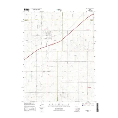
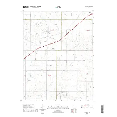
(20)- 2009 Map of Wellsville, 2009 Print
 2009 Wellsville2009 Print · USGSCovers Edgerton, including Wellsville, Johnson County, and other nearby areas
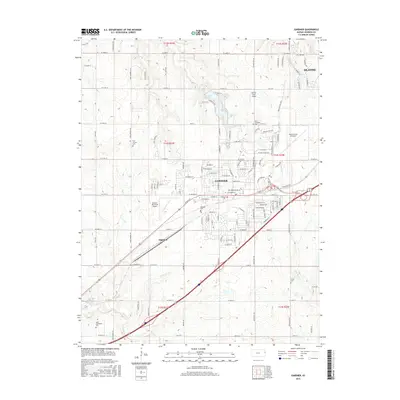
 - 2009 Map of Edgerton, 2009 Print
 2009 Edgerton2009 Print · USGSCovers Edgerton, including De Soto, Black Jack, and other nearby areas
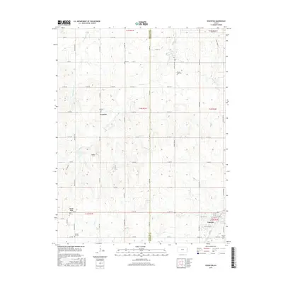
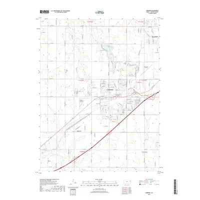
 - 2009 Map of Gardner, 2009 Print
 2009 Gardner2009 Print · USGSCovers Edgerton, including Olathe, Gardner, and other nearby areas
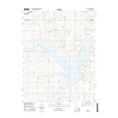
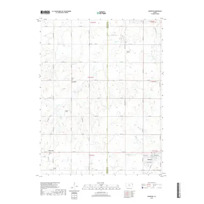
 - 2010 Map of Antioch, 2010 Print
 2010 Antioch2010 Print · USGSCovers Edgerton, including Antioch, Johnson County, and other nearby areas
 - 2012 Map of Gardner, 2012 Print
 2012 Gardner2012 Print · USGSCovers Edgerton, including Olathe, Gardner, and other nearby areas
 - 2012 Map of Antioch, 2012 Print
 2012 Antioch2012 Print · USGSCovers Edgerton, including Antioch, Johnson County, and other nearby areas
 - 2012 Map of Wellsville, 2012 Print
 2012 Wellsville2012 Print · USGSCovers Edgerton, including Wellsville, Johnson County, and other nearby areas
 - 2012 Map of Edgerton, 2012 Print
 2012 Edgerton2012 Print · USGSCovers Edgerton, including De Soto, Black Jack, and other nearby areas
 - 2015 Map of Antioch, 2015 Print
 2015 Antioch2015 Print · USGSCovers Edgerton, including Antioch, Johnson County, and other nearby areas
 - 2015 Map of Edgerton, 2015 Print
 2015 Edgerton2015 Print · USGSCovers Edgerton, including De Soto, Black Jack, and other nearby areas
 - 2015 Map of Gardner, 2015 Print
 2015 Gardner2015 Print · USGSCovers Edgerton, including Olathe, Gardner, and other nearby areas
 - 2016 Map of Wellsville, 2016 Print
 2016 Wellsville2016 Print · USGSCovers Edgerton, including Wellsville, Johnson County, and other nearby areas
 - 2018 Map of Wellsville, 2018 Print
 2018 Wellsville2018 Print · USGSCovers Edgerton, including Wellsville, Johnson County, and other nearby areas
 - 2018 Map of Edgerton, 2018 Print
 2018 Edgerton2018 Print · USGSCovers Edgerton, including De Soto, Black Jack, and other nearby areas
 - 2018 Map of Gardner, 2018 Print
 2018 Gardner2018 Print · USGSCovers Edgerton, including Olathe, Gardner, and other nearby areas
 - 2018 Map of Antioch, 2018 Print
 2018 Antioch2018 Print · USGSCovers Edgerton, including Antioch, Johnson County, and other nearby areas
 - 2022 Map of Edgerton, 2022 Print
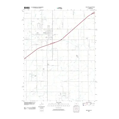
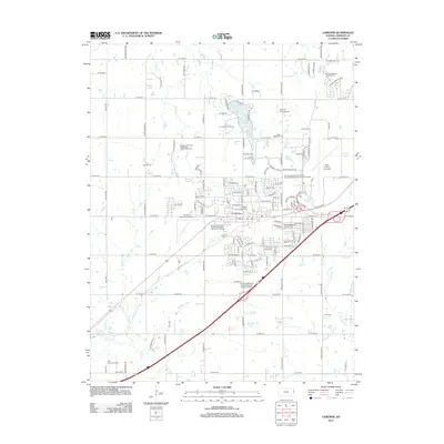
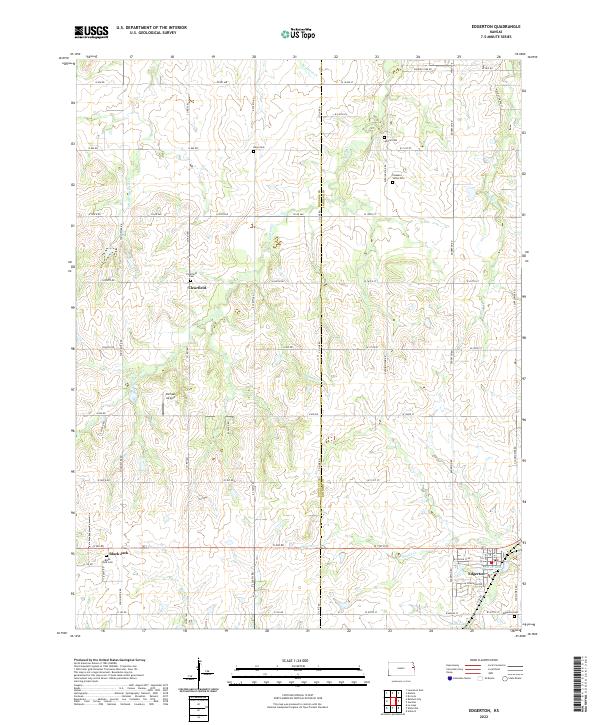 2022 Edgerton2022 Print · USGSThe Douglas and Johnson County line runs through this prairie landscape as it appeared in recent years. Genealogists can locate several rural burial grounds, including Pleasant Valley Cem and Clearfield Cem, near the settlement of Edgerton.
 - 2022 Map of Wellsville, 2022 Print
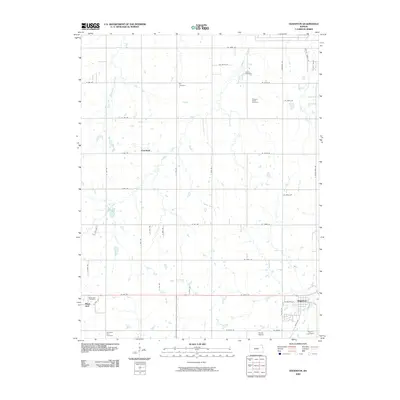
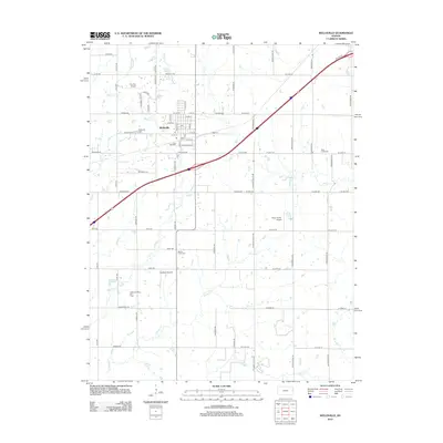
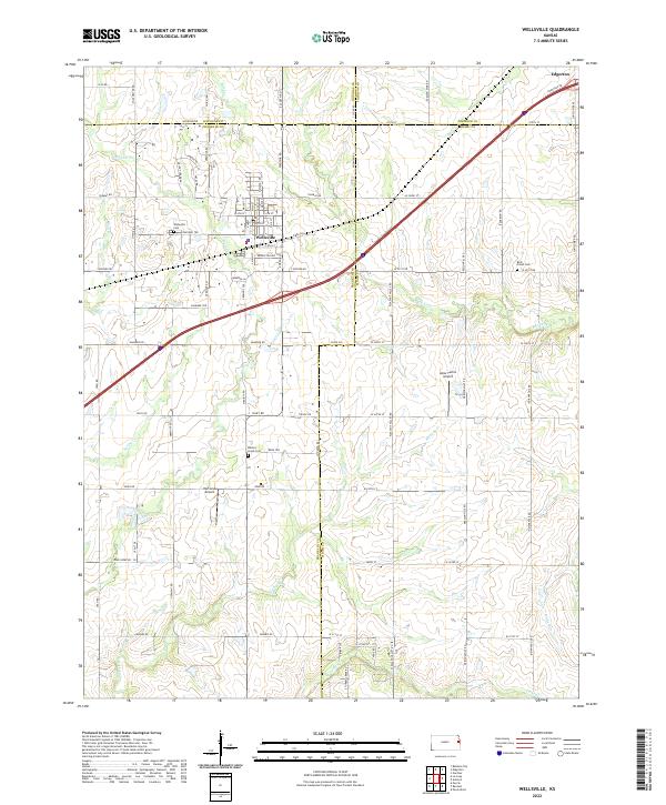 2022 Wellsville2022 Print · USGSThe agricultural heartland where Franklin and Johnson counties meet is documented here in the early twenty-first century. Genealogists and local historians can trace family locations and rural landmarks like Walnut Creek Cem and Amar Farms Airport.
 - 2022 Map of Gardner, 2022 Print
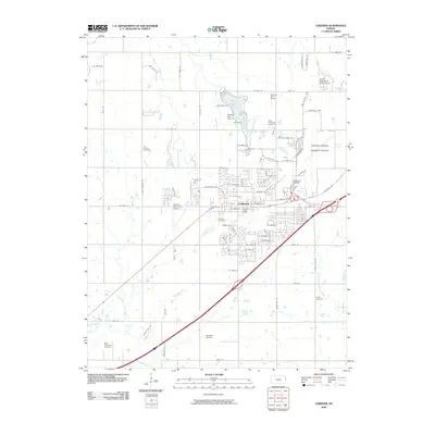
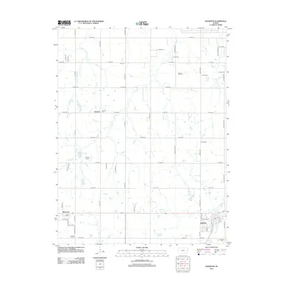
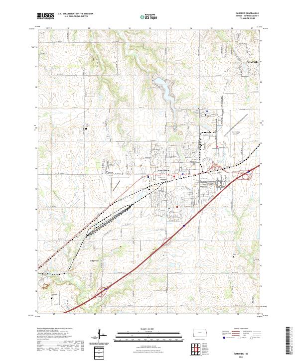 2022 Gardner2022 Print · USGSJohnson County is captured in a period of suburban growth and aviation expansion southwest of Kansas City. Researchers can trace the heritage of Gardner and Edgerton while locating local landmarks like Gardner Cem and the New Century Aircenter.
 - 2022 Map of Antioch, 2022 Print
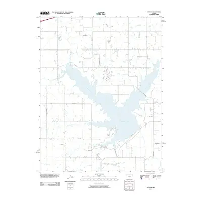
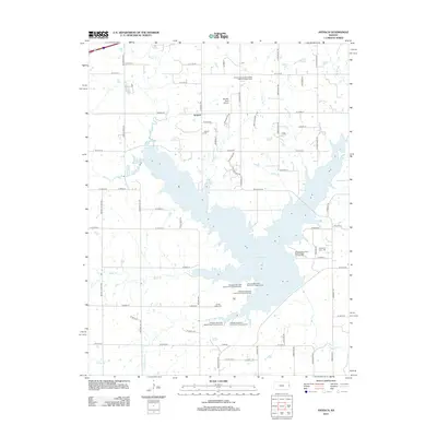
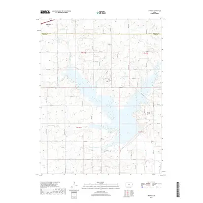
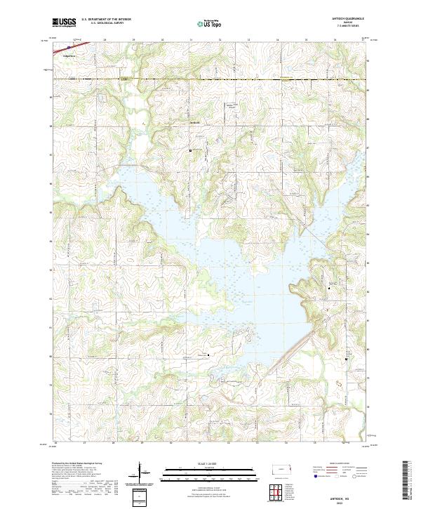 2022 Antioch2022 Print · USGSThe Johnson and Miami county line comes alive in the early twenty-first century, centered on the expansion of Hillsdale Lake. Genealogists and local historians can trace family ties at the Marysville Cem - Old, Antioch Cem, and the rural airfield at Hayden Farm Airport.
End of results
Showing maps 1-20 of 20
Top cities near Edgerton
- Olathe historical maps
- Lawrence historical maps
- Shawnee historical maps
- Lenexa historical maps
- Gardner historical maps
- Ottawa historical maps
See more
Frequently asked questions
- What are the different types of historical maps available for Edgerton?
- What is the oldest map of Edgerton?
- Where can I purchase historical maps of Edgerton for my home or office?
- Where can I download high-res historical maps of Edgerton?
- Are there historical topographic maps available for Edgerton?
- Is there historical aerial imagery available for Edgerton?
- Where are historical maps of Edgerton sourced from?