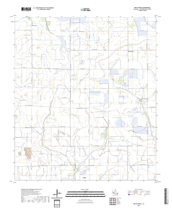
2024 Map of Welsh North
USGS Topo · Published 2024About this map
The agricultural wetlands of Jefferson Davis Parish are meticulously documented in this contemporary survey, where rice farming and land management define the local geography. The northern outskirts of Welsh give way to a sprawling network of irrigation canals and natural drainage systems, including East Bayou Lacassine and the meandering Gum Gully. This region is characterized by large tracts of land dedicated to conservation and agricultural oversight, most notably the Farm Service Agency Interest of Louisiana.
Find a feature on this map
39 named features on this map. Tap any name to fly to it.
Don’t see what you’re looking for? This feature index may not catch every label — zoom into the map to look around manually.
Map Details
Editions of this 2024 Welsh North Map
This is the sole edition of this map. No revisions or reprints were ever made.
Other maps of this area

1946 · Lacassine
USGS Topo · 1:31,680

1946 · Jennings
USGS Topo · 1:31,680

1947 · Kinder
USGS Topo · 1:31,680

1947 · Fenton
USGS Topo · 1:31,680

1947 · Pine Island
USGS Topo · 1:31,680

1947 · Welsh
USGS Topo · 1:31,680

1947 · Elton
USGS Topo · 1:31,680

1947 · Edna
USGS Topo · 1:31,680

1947 · Hathaway
USGS Topo · 1:31,680

1950 · Fenton
USGS Topo · 1:31,680