Loading...
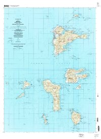
Loading map...1997 Map of Weno
USGS Topo · Published 2004About this map
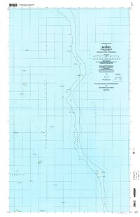
Chuuk Lagoon defines the geography of this mid-1990s survey, illustrating the volcanic islands of the State of Chuuk. The map focuses on Weno, formerly known as Moen, showing its coastal development from the Chuuk Inter-Island Airport near Mechitiw to the eastern settlement of Sapuk. Inland, the terrain rises sharply toward peaks like Witipwon and Tonoachau, while the shorelines are dotted with numerous villages including Iras, Tunuk, and Mwan.
Find a feature on this map
82 named features on this map. Tap any name to fly to it.
Don’t see what you’re looking for? This feature index may not catch every label — zoom into the map to look around manually.
Map Details
Date Portrayed1997
Date Published2004
PublisherU.S. Geological Survey
Map TypeTopographic
Scale1:25,000
Physical Dimensions32 x 43.8 inches
Editions of this 1997 Weno Map
This is the sole edition of this map. No revisions or reprints were ever made.
Other maps of this area
Featured Places
Source Details
SourceU.S. Geological Survey
CopyrightPublic Domain