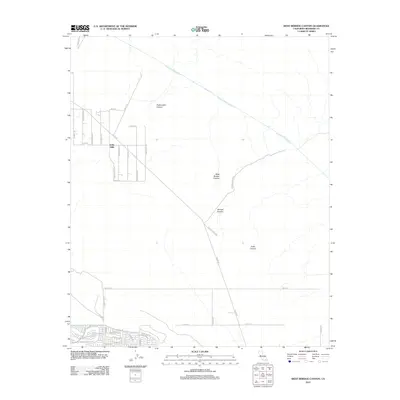
2012 Map of West Berdoo Canyon
USGS Topo · Published 2012About this map
The Colorado River Aqueduct carves a massive diagonal through the northern desert landscape, a testament to the industrial water engineering required to sustain this region. While the north remains dominated by the topographical features of the Indio Hills and deep cuts like Pushawalla Canyon and West Berdoo Canyon, the southern edge shows the encroachment of suburban development. Modern street grids with names like Amador Dr and Sardinia Rd press against the natural boundary of the Coachella Canal. This map captures the stark transition between the managed desert wilderness and the expanding footprint of Indio, linked by rural thoroughfares such as Dillon Rd and the historical trace of Old Aqueduct Rd.
Find a feature on this map
45 named features on this map. Tap any name to fly to it.
Don’t see what you’re looking for? This feature index may not catch every label — zoom into the map to look around manually.
Map Details
Editions of this 2012 West Berdoo Canyon Map
This is the sole edition of this map. No revisions or reprints were ever made.
Other maps of this area

1904 · Indio
USGS Topo · 1:125,000

1941 · Toro Peak
USGS Topo · 1:62,500

1941 · Coachella
USGS Topo · 1:62,500

1941 · Edom
USGS Topo · 1:62,500

1943 · Coachella
USGS Topo · 1:62,500

1944 · Toro peak
USGS Topo · 1:62,500

1944 · Edom
USGS Topo · 1:62,500

1944 · Pinyon Well
USGS Topo · 1:62,500

1947 · Santa Ana
USGS Topo · 1:250,000

1949 · Santa Ana
USGS Topo · 1:250,000