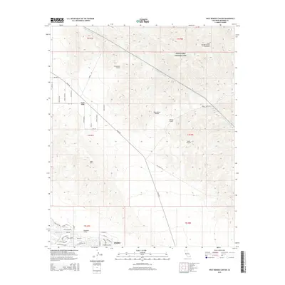
2015 Map of West Berdoo Canyon
USGS Topo · Published 2015About this map
The Little San Bernardino Mountains dominate the northeastern reaches of this survey, where the protected lands of Joshua Tree National Park provide a stark contrast to the developing residential patterns of the Coachella Valley below. This desert landscape is defined by the critical infrastructure that sustains it, most notably the path of the Colorado River Aqueduct as it cuts across the northern terrain and the Coachella Canal in the south. These engineering feats transformed the region, allowing for the growth of Indio.
Find a feature on this map
50 named features on this map. Tap any name to fly to it.
Don’t see what you’re looking for? This feature index may not catch every label — zoom into the map to look around manually.
Map Details
Editions of this 2015 West Berdoo Canyon Map
This is the sole edition of this map. No revisions or reprints were ever made.
Other maps of this area

1904 · Indio
USGS Topo · 1:125,000

1941 · Toro Peak
USGS Topo · 1:62,500

1941 · Coachella
USGS Topo · 1:62,500

1941 · Edom
USGS Topo · 1:62,500

1943 · Coachella
USGS Topo · 1:62,500

1944 · Toro peak
USGS Topo · 1:62,500

1944 · Edom
USGS Topo · 1:62,500

1944 · Pinyon Well
USGS Topo · 1:62,500

1947 · Santa Ana
USGS Topo · 1:250,000

1949 · Santa Ana
USGS Topo · 1:250,000