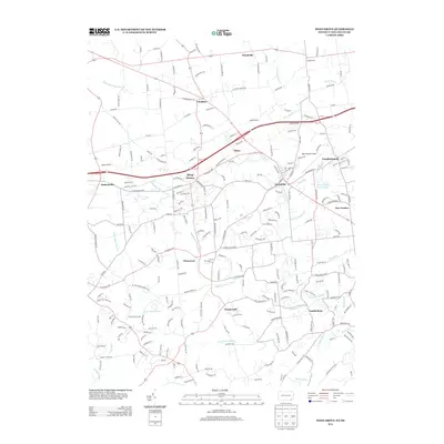
2013 Map of West Grove
USGS Topo · Published 2013About this map
The White Clay Cr watershed defines the southern Chester County landscape in this 2013 survey, where several branches of the creek converge near Landenberg. This region is characterized by a network of established settlements including West Grove, Avondale, and Toughkenamon, connected by the historic corridor of the W Baltimore Pike. The drainage pattern is intricate, featuring smaller tributaries like Lenni Lenape Run and Egypt Run that weave through the undulating terrain. To the north, the small hamlet of Chatham and the aviation hub of New Garden Airport highlight the mix of traditional rural life and modern infrastructure. Genealogists and local historians can trace the paths of old routes such as Mercer Mill Rd, Hess Mill Rd, and Watson Mill Rd, which suggest the area's long-standing agricultural and milling heritage along the riverbanks.
Find a feature on this map
229 named features on this map. Tap any name to fly to it.
Don’t see what you’re looking for? This feature index may not catch every label — zoom into the map to look around manually.
Map Details
Editions of this 2013 West Grove Map
This is the sole edition of this map. No revisions or reprints were ever made.
Other maps of this area

1898 · Elkton
USGS Topo · 1:62,500

1900 · Elkton
USGS Topo · 1:62,500

1901 · West Chester
USGS Topo · 1:62,500

1904 · West Chester
USGS Topo · 1:62,500

1904 · Coatesville
USGS Topo · 1:62,500

1904 · Wilmington
USGS Topo · 1:62,500

1906 · Coatesville
USGS Topo · 1:62,500

1906 · Wilmington
USGS Topo · 1:62,500

1917 · Elkton
USGS Topo · 1:62,500

1918 · Coatesville
USGS Topo · 1:62,500
Featured Places
- New Garden Township, PA
- New London Township, PA
- Franklin Township, PA
- Toughkenamon, New Garden Township
- North Star, Delaware, DE