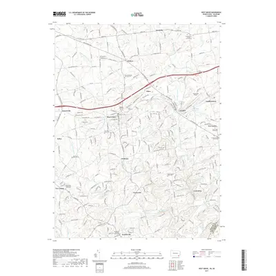
2019 Map of West Grove
USGS Topo · Published 2019About this map
West Grove and the surrounding boroughs of Avondale and Toughkenamon define this corner of Chester County, where a dense network of country roads connects historic Quaker and denominational centers. The landscape is deeply influenced by the branching tributaries of White Clay Creek, including Middle Branch and East Branch White Clay Creek. These waterways, alongside runs like Lenni-Lenape Run and Mushroom Run, have shaped the region's agricultural and industrial development for generations.
Find a feature on this map
72 named features on this map. Tap any name to fly to it.
Don’t see what you’re looking for? This feature index may not catch every label — zoom into the map to look around manually.
Map Details
Editions of this 2019 West Grove Map
This is the sole edition of this map. No revisions or reprints were ever made.
Other maps of this area

1898 · Elkton
USGS Topo · 1:62,500

1900 · Elkton
USGS Topo · 1:62,500

1901 · West Chester
USGS Topo · 1:62,500

1904 · West Chester
USGS Topo · 1:62,500

1904 · Coatesville
USGS Topo · 1:62,500

1904 · Wilmington
USGS Topo · 1:62,500

1906 · Coatesville
USGS Topo · 1:62,500

1906 · Wilmington
USGS Topo · 1:62,500

1917 · Elkton
USGS Topo · 1:62,500
1918 · Coatesville
USGS Topo · 1:62,500
Featured Places
- New Garden Township, PA
- New London Township, PA
- Franklin Township, PA
- Toughkenamon, New Garden Township
- North Star, Delaware, DE