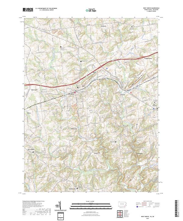
2023 Map of West Grove
USGS Topo · Published 2023About this map
West Grove and the surrounding Chester County countryside are defined by a complex network of waterways, where the Middle Branch White Clay Creek, East Branch White Clay Creek, and West Branch White Clay Creek converge as they flow toward the Delaware border. The landscape is dotted with historical Quaker and denominational landmarks, including the London Grove Friends Burial Ground and the African Union Church of Londongrove Cem. Local transportation revolves around the Gap Newport Pike and the Baltimore Pike, which connect established communities like Avondale, Toughkenamon, and Baker. The presence of the New Garden Airport and various preserves, such as the White Clay Creek Preserve Trails Trl, reflects a region that balances small-town industry with significant land conservation and local heritage.
Find a feature on this map
125 named features on this map. Tap any name to fly to it.
Don’t see what you’re looking for? This feature index may not catch every label — zoom into the map to look around manually.
Map Details
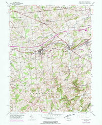
Editions of this 2023 West Grove Map
This is the sole edition of this map. No revisions or reprints were ever made.
Historical Maps of Austinville Through Time
4 maps found
Featured Locations
- Franklin Township, PA
- Londonderry Township, PA
- New Garden Township, PA
- New London Township, PA
- Toughkenamon, New Garden Township