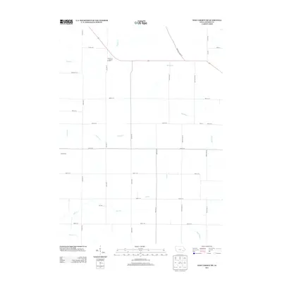
2013 Map of West Liberty SW
USGS Topo · Published 2013About this map
Morfordsville sits at the western edge of this agricultural landscape in Johnson County, defined by a dense grid of rural roads and a system of prairie waterways. The terrain is marked by the slow movement of the Big Slough and the winding paths of Buck Cr and Pechman Cr, which slice through the rectangular farm plots. North of the slough, the landscape transitions toward the drainage of Snyder Cr. The map captures the area's modern infrastructure, including the American Legion Rd SE and the intersection of historic township routes like Oasis Rd and Taft Ave SE. To the south, the presence of Ditch Number 2 and Otter Cr indicates the managed water systems necessary for sustaining this productive corner of the Iowa countryside.
Find a feature on this map
33 named features on this map. Tap any name to fly to it.
Don’t see what you’re looking for? This feature index may not catch every label — zoom into the map to look around manually.
Map Details
Editions of this 2013 West Liberty SW Map
This is the sole edition of this map. No revisions or reprints were ever made.
Other maps of this area

1891 · Iowa City
USGS Topo · 1:62,500

1894 · West Liberty
USGS Topo · 1:62,500

1901 · Stanwood
USGS Topo · 1:125,000

1903 · Fairfax
USGS Topo · 1:125,000

1938 · Iowa City
USGS Topo · 1:62,500

1958 · Davenport
USGS Topo · 1:250,000

1961 · Davenport
USGS Topo · 1:250,000

1962 · Davenport
USGS Topo · 1:250,000
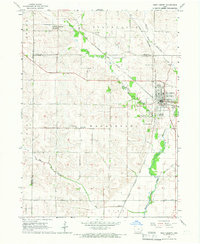
1965 · West Liberty
USGS Topo · 1:24,000
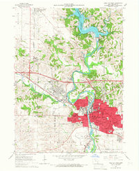
1965 · Iowa City West
USGS Topo · 1:24,000