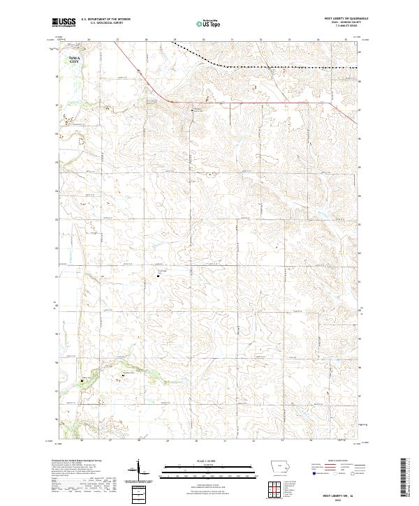
2022 Map of West Liberty SW
USGS Topo · Published 2022About this map
Thompson Cherry Cem and Trowbridge Cem are notable landmarks in this rural landscape of southeastern Johnson County. While a small portion of Iowa City occupies the northwest corner, the terrain is largely defined by a grid of agricultural section roads including Osage St SE and 540th St SE. The area's drainage is influenced by a network of waterways such as Snyder Cr, Buck Cr, and the naturally slow-moving Big Slough. This survey captures the region's balance between the expanding urban reach of the county seat and the established rural homesteads that have shaped the land for generations. Several family-named cemeteries, including Walker Cem and Fountain Cem, are preserved here, offering a clear view of the area's local genealogy and pioneer burial grounds.
Find a feature on this map
29 named features on this map. Tap any name to fly to it.
Don’t see what you’re looking for? This feature index may not catch every label — zoom into the map to look around manually.
Map Details
Editions of this 2022 West Liberty SW Map
This is the sole edition of this map. No revisions or reprints were ever made.
Other maps of this area

1891 · Iowa City
USGS Topo · 1:62,500

1894 · West Liberty
USGS Topo · 1:62,500

1901 · Stanwood
USGS Topo · 1:125,000

1903 · Fairfax
USGS Topo · 1:125,000

1938 · Iowa City
USGS Topo · 1:62,500

1958 · Davenport
USGS Topo · 1:250,000

1961 · Davenport
USGS Topo · 1:250,000

1962 · Davenport
USGS Topo · 1:250,000
1965 · West Liberty
USGS Topo · 1:24,000
1965 · Iowa City West
USGS Topo · 1:24,000