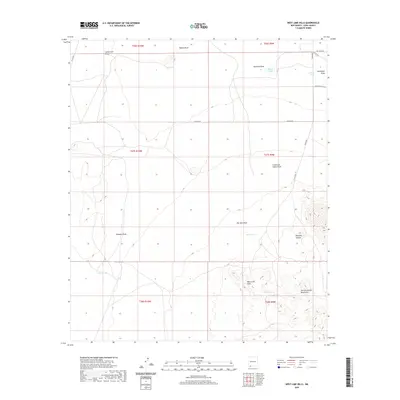
2020 Map of West Lime Hills
USGS Topo · Published 2020About this map
The West Lime Hills and the northern reaches of the Tres Hermanas Mountains dominate this arid landscape in Luna County. This area is defined by a complex network of drainage systems, or draws, which are essential markers in the desert geography. Notable water-collection points like Bassett Lake, Jog Tank, and Hood Tank indicate the infrastructure necessary for land use in this dry basin. The terrain rises significantly toward the south, where Manning Canyon cuts through the high ground. Local transit is facilitated by a grid of county roads, including Co RD c013 and Settler Rd E, providing access to this high-desert environment. These features together show a region primarily managed for ranching and water conservation, typical of southwestern New Mexico's land management patterns.
Find a feature on this map
29 named features on this map. Tap any name to fly to it.
Don’t see what you’re looking for? This feature index may not catch every label — zoom into the map to look around manually.
Map Details
Editions of this 2020 West Lime Hills Map
This is the sole edition of this map. No revisions or reprints were ever made.
Other maps of this area

1899 · Deming
USGS Topo · 1:125,000

1915 · Deming
USGS Topo · 1:125,000

1917 · Hermanas
USGS Topo · 1:62,500

1917 · Columbus
USGS Topo · 1:62,500

1918 · Columbus
USGS Topo · 1:62,500

1918 · Hermanas
USGS Topo · 1:62,500

1920 · Columbus
USGS Topo · 1:62,500

1943 · Hermanas
USGS Topo · 1:62,500

1953 · El Paso
USGS Topo · 1:250,000

1955 · Las Cruces
USGS Topo · 1:250,000