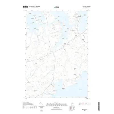
2018 Map of West Lubec
USGS Topo · Published 2018About this map
West Lubec and the surrounding coastline of Washington County are defined by a complex network of peninsulas and narrow passages opening into the Grand Manan Channel. The landscape is a mosaic of family-named points and coves, such as Seward Neck, Denbow Neck, and Morong Cove, reflecting the maritime and agricultural heritage of the easternmost reaches of Maine. Modern transportation and infrastructure, including the Lubec Municipal Airport near Ridge, coexist with older markers of the local economy like Plaster Mill Ln and Lead Mine RD.
Find a feature on this map
100 named features on this map. Tap any name to fly to it.
Don’t see what you’re looking for? This feature index may not catch every label — zoom into the map to look around manually.
Map Details
Editions of this 2018 West Lubec Map
This is the sole edition of this map. No revisions or reprints were ever made.
Other maps of this area

1907 · Eastport
USGS Topo · 1:48,000

1908 · Eastport
USGS Topo · 1:62,500

1917 · Cutler
USGS Topo · 1:62,500

1918 · Cutler
USGS Topo · 1:62,500

1943 · Eastport
USGS Topo · 1:62,500

1945 · Eastport
USGS Topo · 1:62,500

1949 · Whiting
USGS Topo · 1:24,000

1949 · Pembroke
USGS Topo · 1:24,000

1949 · Eastport
USGS Topo · 1:24,000

1949 · West Lubec
USGS Topo · 1:24,000