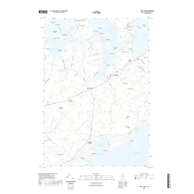
2021 Map of West Lubec
USGS Topo · Published 2021About this map
North Lubec and the surrounding coastline of Washington County define this maritime landscape, where the tides of the Grand Manan Channel meet a complex network of coves and necks. The area is characterized by traditional settlement patterns centered around West Lubec and the smaller community of South Trescott. Geographic features with storied names like Baileys Mistake and The Crows Nest suggest a long history of coastal navigation and local lore.
Find a feature on this map
97 named features on this map. Tap any name to fly to it.
Don’t see what you’re looking for? This feature index may not catch every label — zoom into the map to look around manually.
Map Details
Editions of this 2021 West Lubec Map
This is the sole edition of this map. No revisions or reprints were ever made.
Other maps of this area

1907 · Eastport
USGS Topo · 1:48,000

1908 · Eastport
USGS Topo · 1:62,500

1917 · Cutler
USGS Topo · 1:62,500

1918 · Cutler
USGS Topo · 1:62,500

1943 · Eastport
USGS Topo · 1:62,500

1945 · Eastport
USGS Topo · 1:62,500

1949 · Whiting
USGS Topo · 1:24,000

1949 · Pembroke
USGS Topo · 1:24,000

1949 · Eastport
USGS Topo · 1:24,000

1949 · West Lubec
USGS Topo · 1:24,000