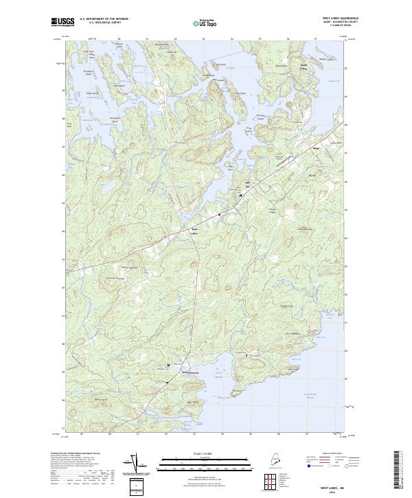
2024 Map of West Lubec
USGS Topo · Published 2024About this map
North Lubec and the surrounding coastal peninsulas of Washington County are defined by an intricate network of coves and harbors along the Grand Manan Channel. The landscape is dotted with several family and community burial grounds, including the West Lubec Split Hill Cem and the Jones-McFadden Cem, which offer significant value for genealogical research in this Downeast region. Small settlements like West Lubec and South Trescott serve as anchors within a geography dominated by water bodies such as Federal Harbor, Whiting Bay, and the curiously named Baileys Mistake.
Find a feature on this map
105 named features on this map. Tap any name to fly to it.
Don’t see what you’re looking for? This feature index may not catch every label — zoom into the map to look around manually.
Map Details
Editions of this 2024 West Lubec Map
This is the sole edition of this map. No revisions or reprints were ever made.
Other maps of this area

1907 · Eastport
USGS Topo · 1:48,000

1908 · Eastport
USGS Topo · 1:62,500

1917 · Cutler
USGS Topo · 1:62,500

1918 · Cutler
USGS Topo · 1:62,500

1943 · Eastport
USGS Topo · 1:62,500

1945 · Eastport
USGS Topo · 1:62,500

1949 · Whiting
USGS Topo · 1:24,000

1949 · Pembroke
USGS Topo · 1:24,000

1949 · Eastport
USGS Topo · 1:24,000

1949 · West Lubec
USGS Topo · 1:24,000