2023 Map of West Milton
USGS Topo · Published 2023About this map
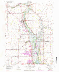
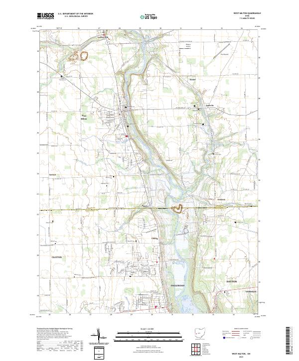
The Stillwater River winds through this Miami and Montgomery County landscape, carving a path between the well-established communities of West Milton and Ludlow Falls. This 2023 edition documents the contemporary layout of the region's agricultural and residential development, highlighting the numerous burial grounds that link the modern landscape to its pioneer past. Genealogists and local researchers will find an exceptional density of family and community landmarks, from the Old Milton Cem and Riverside Cem near the riverbanks to the more outlying Honeyman Cem, Wheelock Cem, and Dohner Cem. Further south, the sprawl of Union, Englewood, and the northern reaches of Dayton contrast with the rural character of northern settlements like Kessler and Nashville. The map also captures specialized transport hubs including Wagner Airport and Troy Skypark, along with the historic Antioch School RD corridor.
Find a feature on this map
148 named features on this map. Tap any name to fly to it.
Don’t see what you’re looking for? This feature index may not catch every label — zoom into the map to look around manually.
Map Details
Editions of this 2023 West Milton Map
This is the sole edition of this map. No revisions or reprints were ever made.