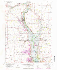
1955 Map of West Milton
USGS Topo · Published 1984About this map
The Stillwater River carves a deep valley through the center of this Miami and Montgomery County landscape, its flow regulated by the Miami Conservancy District and the Stillwater River Reservoir. The town of West Milton sits prominently on the western bluffs, served by the Penn Central railroad which also passes through Ludlow Falls to the northwest. This 1950s survey captures a transition in rural life, showing established farming communities like Nashville and Frederick alongside the growing suburban edges of Englewood and Union. Genealogists will find a wealth of local landmarks, including the Highland Church and its adjacent Highland Cemetery, as well as the Minnich Cemetery and Herr Cemetery. The map also details early industrial and utility features such as a Gravel Pit, a Fish Hatchery, and the West Branch Sub Station.
Find a feature on this map
71 named features on this map. Tap any name to fly to it.
Don’t see what you’re looking for? This feature index may not catch every label — zoom into the map to look around manually.
Map Details
Editions of this 1955 West Milton Map
5 editions found
Other maps of this area

1904 · Dayton
USGS Topo · 1:62,500

1905 · Brookville
USGS Topo · 1:62,500

1906 · Dayton
USGS Topo · 1:62,500

1911 · Covington
USGS Topo · 1:62,500

1914 · Troy
USGS Topo · 1:62,500

1944 · Covington
USGS Topo · 1:62,500

1944 · Troy
USGS Topo · 1:62,500

1953 · Cincinnati
USGS Topo · 1:250,000

1953 · Muncie
USGS Topo · 1:250,000

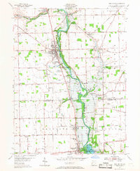
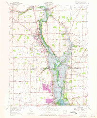
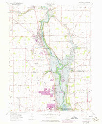
1955 · West Milton
USGS Topo · 1:24,000