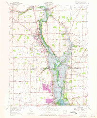
1955 Map of West Milton
USGS Topo · Published 1971About this map
The Stillwater River carves a deep valley through this portion of Miami and Montgomery Counties, anchoring a landscape shaped by both natural drainage and mid-century water management. At the southern end of the sheet, the Englewood Reservoir and the Miami Conservancy District (Englewood Reserve) dominate the terrain, reflecting the region's historical commitment to flood control. The river valley is a corridor of activity, featuring several Fish Hatchery sites and the prominent Church of The Transfiguration.
Find a feature on this map
65 named features on this map. Tap any name to fly to it.
Don’t see what you’re looking for? This feature index may not catch every label — zoom into the map to look around manually.
Map Details
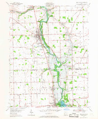
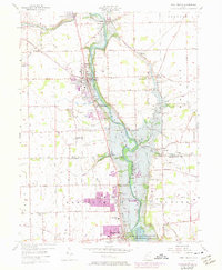
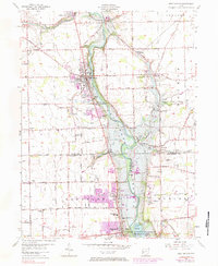
Editions of this 1955 West Milton Map
5 editions found
Other maps of this area

1904 · Dayton
USGS Topo · 1:62,500

1905 · Brookville
USGS Topo · 1:62,500

1906 · Dayton
USGS Topo · 1:62,500

1911 · Covington
USGS Topo · 1:62,500

1914 · Troy
USGS Topo · 1:62,500

1944 · Covington
USGS Topo · 1:62,500

1944 · Troy
USGS Topo · 1:62,500

1953 · Cincinnati
USGS Topo · 1:250,000

1953 · Muncie
USGS Topo · 1:250,000

1955 · West Milton
USGS Topo · 1:24,000