
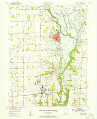
1955 Map of West Milton
USGS Topo · Published 1956About this map
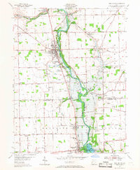
West Milton and the surrounding townships of Union, Randolph, and Butler are defined by the meandering course of the Stillwater River in this mid-century survey. The landscape is a mix of agricultural plots and small crossroads settlements like Nashville, Kessler, and Frederick. The Stillwater Reservoir area to the south, managed by the Miami Conservancy District (Englewood Reserve), serves as a prominent environmental and engineering feature designed for regional flood protection.
Find a feature on this map
78 named features on this map. Tap any name to fly to it.
Don’t see what you’re looking for? This feature index may not catch every label — zoom into the map to look around manually.
Map Details
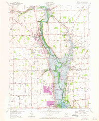
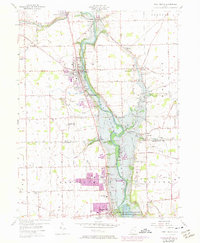
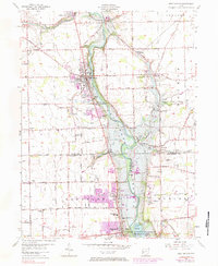
Editions of this 1955 West Milton Map
5 editions found
Other maps of this area

1904 · Dayton
USGS Topo · 1:62,500

1905 · Brookville
USGS Topo · 1:62,500

1906 · Dayton
USGS Topo · 1:62,500

1911 · Covington
USGS Topo · 1:62,500

1914 · Troy
USGS Topo · 1:62,500

1944 · Covington
USGS Topo · 1:62,500

1944 · Troy
USGS Topo · 1:62,500

1953 · Cincinnati
USGS Topo · 1:250,000

1953 · Muncie
USGS Topo · 1:250,000
1955 · Tipp City
USGS Topo · 1:24,000