2022 Map of West Mineral
USGS Topo · Published 2022About this map
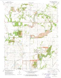
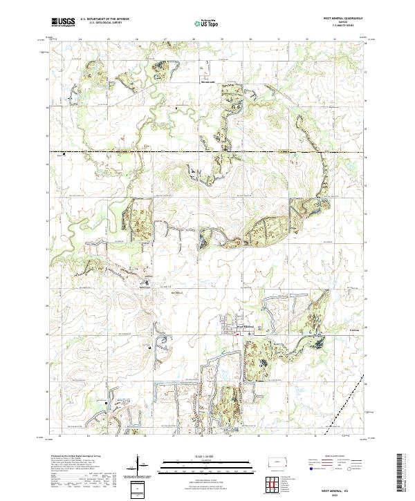
The town of West Mineral serves as the central hub of this Cherokee County landscape, where the legacy of industrial activity is etched into the terrain. Just south of the Crawford Co Cherokee Co boundary, the map reveals a pattern of land usage defined by its namesake mineral history, particularly along NW Coal Valley Rd and NW Coalfield Rd. The presence of Bell Mound and several localized water systems like Lightning Cr and Plum Cr suggest a landscape heavily altered by excavation and reclamation efforts.
Find a feature on this map
33 named features on this map. Tap any name to fly to it.
Don’t see what you’re looking for? This feature index may not catch every label — zoom into the map to look around manually.
Map Details
Editions of this 2022 West Mineral Map
This is the sole edition of this map. No revisions or reprints were ever made.