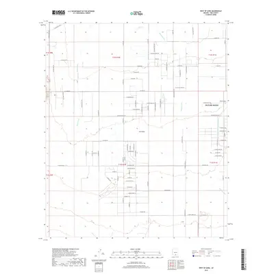
2018 Map of West of Avra
USGS Topo · Published 2018About this map
Avra Valley defines this portion of Pima County, showing a desert landscape marked by a grid of rural roads and water management features in the late 2010s. The settlement of Picture Rocks sits on the eastern edge of the map, adjacent to the prominent China Draw. A significant modern engineering feature, the Central Arizona Project Aqueduct, cuts north to south through the valley, highlighting the critical role of water infrastructure in the arid Arizona interior. The natural drainage of the region is characterized by ephemeral watercourses like Brawley Wash and Blanco Wash, which weave through the townships. Notable local landmarks such as BK Tank and thoroughfares like W Avra Valley Rd provide essential reference points for researchers studying the contemporary land use and settlement patterns of this desert basin.
Find a feature on this map
117 named features on this map. Tap any name to fly to it.
Don’t see what you’re looking for? This feature index may not catch every label — zoom into the map to look around manually.
Map Details
Editions of this 2018 West of Avra Map
This is the sole edition of this map. No revisions or reprints were ever made.
Other maps of this area

1925 · San Xavier
USGS Topo · 1:62,500

1934 · Tucson Mountains
USGS Topo · 1:125,000

1941 · Cocoraque Butte
USGS Topo · 1:62,500

1943 · Cocoraque Butte
USGS Topo · 1:62,500

1943 · San Xavier Mission
USGS Topo · 1:62,500

1947 · Cortaro
USGS Topo · 1:62,500

1956 · Tucson
USGS Topo · 1:250,000

1957 · San Xavier Mission
USGS Topo · 1:62,500

1957 · Cortaro
USGS Topo · 1:62,500

1958 · Tucson
USGS Topo · 1:250,000