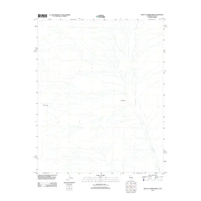
2012 Map of West of Juniper Mine
USGS Topo · Published 2012About this map
Piute Wash dominates this desert landscape as it cuts through the expansive Piute Valley. This 2012 survey by the U.S. Geological Survey illustrates a sparsely populated stretch of the Mojave Desert along the California and Nevada border. The eastern slopes of the Piute Range rise in the west, giving way to a complex network of ephemeral drainage channels that converge into the main wash. The map captures the natural hydrological patterns of this arid region before it reaches the site of the historic Juniper Mine located just off-sheet. The lack of modern development or structures highlights the isolation of this corner of San Bernardino County, where the topography is defined primarily by the descent from the mountains into the broad valley floor.
Find a feature on this map
3 named features on this map. Tap any name to fly to it.
Don’t see what you’re looking for? This feature index may not catch every label — zoom into the map to look around manually.
Map Details
Editions of this 2012 West of Juniper Mine Map
This is the sole edition of this map. No revisions or reprints were ever made.
Other maps of this area

1886 · Camp Mohave
USGS Topo · 1:250,000

1892 · Camp Mohave
USGS Topo · 1:250,000

1910 · Ivanpah
USGS Topo · 1:250,000

1912 · Ivanpah
USGS Topo · 1:250,000

1926 · Mohave City
USGS Topo · 1:96,000

1942 · Camp Mohave
USGS Topo · 1:250,000

1942 · Ivanpah
USGS Topo · 1:250,000

1947 · Kingman
USGS Topo · 1:250,000

1948 · Kingman
USGS Topo · 1:250,000

1954 · Kingman
USGS Topo · 1:250,000