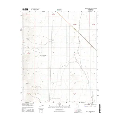
2015 Map of West of Juniper Mine
USGS Topo · Published 2015About this map
Mojave National Preserve covers the central and western reaches of this desert landscape, where the high elevations of the Piute Range descend toward the broad drainage of the Piute Wash. This 2015 survey illustrates a remote borderland where the state line between Nevada and California meets the county boundary separating Clark and San Bernardino counties. The terrain is defined by the stark transition from the mountainous outcrops in the west to the arid expanse of the Piute Valley in the east. The map records a modern configuration of the Mojave Desert, documenting the topographic contours and federal land boundaries that define this portion of the eastern Mojave, serving as a detailed record of the region’s hydrology and protected desert ecosystems.
Find a feature on this map
15 named features on this map. Tap any name to fly to it.
Don’t see what you’re looking for? This feature index may not catch every label — zoom into the map to look around manually.
Map Details
Editions of this 2015 West of Juniper Mine Map
This is the sole edition of this map. No revisions or reprints were ever made.
Other maps of this area

1886 · Camp Mohave
USGS Topo · 1:250,000

1892 · Camp Mohave
USGS Topo · 1:250,000

1910 · Ivanpah
USGS Topo · 1:250,000

1912 · Ivanpah
USGS Topo · 1:250,000

1926 · Mohave City
USGS Topo · 1:96,000

1942 · Camp Mohave
USGS Topo · 1:250,000

1942 · Ivanpah
USGS Topo · 1:250,000

1947 · Kingman
USGS Topo · 1:250,000

1948 · Kingman
USGS Topo · 1:250,000

1954 · Kingman
USGS Topo · 1:250,000