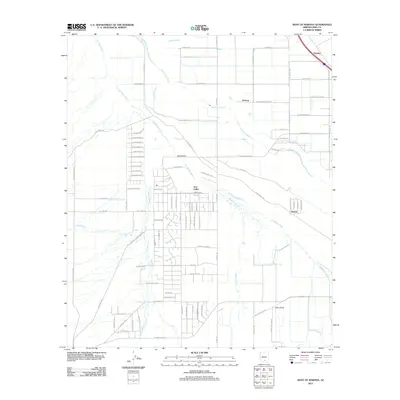
2011 Map of West of Marana
USGS Topo · Published 2011About this map
Avra Valley serves as the central hub of this desert landscape west of Marana, where a structured grid of rural residential roads meets the natural path of the Santa Cruz River. The area is defined by a series of ephemeral watercourses, including the wide Los Robles Wash and Brawley Wash, which channel seasonal runoff toward the river. Smaller settlements like Naviska in the northeast and Dobson to the east highlight the sparse but organized habitation of Pima County at the start of the 2010s. The road network, including W Trico Marana Rd and W Silverbell Rd, provides access across the arid flats toward landmarks like China Draw. This map documents the intersection of modern agricultural development and the natural hydrology of the Sonoran Desert.
Find a feature on this map
86 named features on this map. Tap any name to fly to it.
Don’t see what you’re looking for? This feature index may not catch every label — zoom into the map to look around manually.
Map Details
Editions of this 2011 West of Marana Map
This is the sole edition of this map. No revisions or reprints were ever made.
Other maps of this area

1934 · Tucson Mountains
USGS Topo · 1:125,000

1934 · Newman Peak
USGS Topo · 1:125,000

1947 · Cortaro
USGS Topo · 1:62,500

1947 · Red Rock
USGS Topo · 1:62,500

1956 · Tucson
USGS Topo · 1:250,000

1957 · Cortaro
USGS Topo · 1:62,500

1958 · Tucson
USGS Topo · 1:250,000

1959 · Tucson
USGS Topo · 1:250,000

1959 · Tortolita Mts
USGS Topo · 1:62,500
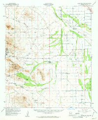
1959 · Silver Bell Peak
USGS Topo · 1:62,500