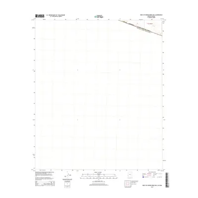
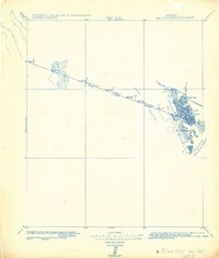
2014 Map of West of Vopoki Ridge OE S
USGS Topo · Published 2014About this map
The United States of America Estados Unidos Mexicanos international border bisects the extreme northern edge of this desert region, marking the threshold between the southern Colorado River delta and the arid plains. Situated in the southwestern corner of Arizona, specifically within Yuma Co, the landscape is primarily defined by its vast, open topography under the Public Land Survey System grid of t12s r21w. The sparse labels and concentrated boundary lines underscore the isolation of this borderland frontier, where international demarcations are the most prominent features on the land. This 2014 representation captures the remote character of the territory just west of the Vopoki Ridge, reflecting the intersection of federal sovereignty and the stark Southwestern environment.
Find a feature on this map
8 named features on this map. Tap any name to fly to it.
Don’t see what you’re looking for? This feature index may not catch every label — zoom into the map to look around manually.
Map Details
Editions of this 2014 West of Vopoki Ridge OE S Map
This is the sole edition of this map. No revisions or reprints were ever made.
Other maps of this area

1942 · Yuma
USGS Topo · 1:250,000

1954 · El Centro
USGS Topo · 1:250,000

1955 · El Centro
USGS Topo · 1:250,000

1958 · El Centro
USGS Topo · 1:250,000

1961 · El Centro
USGS Topo · 1:250,000

1964 · El Centro
USGS Topo · 1:250,000
1964 · South of Yuma
USGS Topo · 1:62,500
1965 · Vopoki Ridge
USGS Topo · 1:62,500
1980 · Tinajas Altas Mts
USGS Topo · 1:100,000
1982 · Tinajas Altas
USGS Topo · 1:125,000