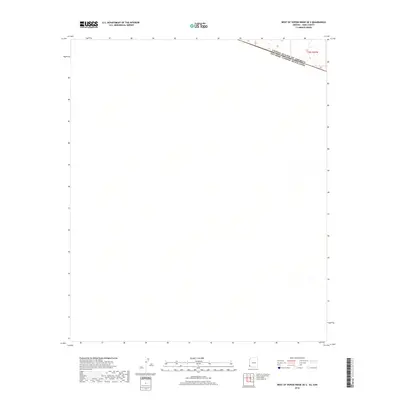
2018 Map of West of Vopoki Ridge OE S
USGS Topo · Published 2018About this map
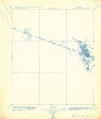
The international border between the United States of America Estados Unidos Mexicanos defines the northernmost section of this 2018 survey. Situated in the arid landscape south of Yuma, the map primarily illustrates the open desert terrain within the Sonoran region of Mexico. The boundary line, labeled in both English and Spanish, angles across the upper northeast corner, marking the geopolitical divide within the T12s R21w township grid. Aside from this primary international marker, the sheet is characterized by its isolation and the subtle natural drainage patterns that cross the desert floor.
Find a feature on this map
2 named features on this map. Tap any name to fly to it.
Don’t see what you’re looking for? This feature index may not catch every label — zoom into the map to look around manually.
Map Details
Editions of this 2018 West of Vopoki Ridge OE S Map
This is the sole edition of this map. No revisions or reprints were ever made.
Other maps of this area

1942 · Yuma
USGS Topo · 1:250,000

1954 · El Centro
USGS Topo · 1:250,000

1955 · El Centro
USGS Topo · 1:250,000

1958 · El Centro
USGS Topo · 1:250,000

1961 · El Centro
USGS Topo · 1:250,000

1964 · El Centro
USGS Topo · 1:250,000
1964 · South of Yuma
USGS Topo · 1:62,500
1965 · Vopoki Ridge
USGS Topo · 1:62,500
1980 · Tinajas Altas Mts
USGS Topo · 1:100,000
1982 · Tinajas Altas
USGS Topo · 1:125,000