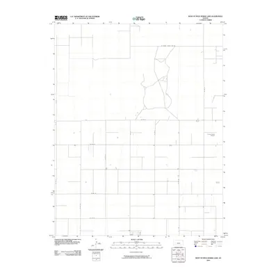
2009 Map of West of Wild Horse Lake
USGS Topo · Published 2009About this map
Currey Farms Airport stands as a focal point in this landscape of southwestern Finney County, illustrating the intersection of modern agriculture and aviation in the High Plains. This 2009 survey reflects the rigid, organized grid of the Public Land Survey System, where a network of section line roads like Co Rd 50, Co Rd 80, and Co Rd HH define the territory. The southern border is particularly significant, marked by the W Haskell County Line Rd, showing the precise administrative boundary between Finney and Haskell counties. The map captures a high-efficiency farming environment where water management and transportation are paramount. Several intermittent streams and small water bodies are scattered across the landscape, connected by a series of north-south and east-west routes, including Co Rd FF and Co Rd JJ, which facilitate the movement of goods and machinery through the sprawling agricultural tracts.
Find a feature on this map
14 named features on this map. Tap any name to fly to it.
Don’t see what you’re looking for? This feature index may not catch every label — zoom into the map to look around manually.
Map Details
Editions of this 2009 West of Wild Horse Lake Map
This is the sole edition of this map. No revisions or reprints were ever made.
Other maps of this area

1891 · Larned
USGS Topo · 1:125,000

1896 · Garden
USGS Topo · 1:125,000

1900 · Lakin
USGS Topo · 1:125,000

1955 · Dodge City
USGS Topo · 1:250,000

1958 · Dodge City
USGS Topo · 1:250,000

1959 · Dodge City
USGS Topo · 1:250,000

1959 · Garden City 3 NW
USGS Topo · 1:24,000

1959 · Hickok NE
USGS Topo · 1:24,000

1959 · Garden City 3 NE
USGS Topo · 1:24,000

1960 · Hickok SE
USGS Topo · 1:24,000