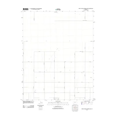
2012 Map of West of Wild Horse Lake
USGS Topo · Published 2012About this map
Agricultural patterns and a rigid section-line road network define this landscape in Finney County, illustrating the high plains character of western Kansas. The survey is anchored by W Haskell Co Line Rd along the southern border, marking the division between neighboring counties. The terrain is organized into a systematic grid of county thoroughfares, including Co Road FF and Co Road LL, which facilitate movement across the open prairie. Notable north-south routes like S Sandhills Rd and S Ivanhoe Rd penetrate the northern reaches, while numerous designated roads such as 50th Rd and Co Rd-70 provide access to the individual farmsteads and rural properties that comprise the region's scattered settlement pattern.
Find a feature on this map
17 named features on this map. Tap any name to fly to it.
Don’t see what you’re looking for? This feature index may not catch every label — zoom into the map to look around manually.
Map Details
Editions of this 2012 West of Wild Horse Lake Map
This is the sole edition of this map. No revisions or reprints were ever made.
Other maps of this area

1891 · Larned
USGS Topo · 1:125,000

1896 · Garden
USGS Topo · 1:125,000

1900 · Lakin
USGS Topo · 1:125,000

1955 · Dodge City
USGS Topo · 1:250,000

1958 · Dodge City
USGS Topo · 1:250,000

1959 · Dodge City
USGS Topo · 1:250,000

1959 · Garden City 3 NW
USGS Topo · 1:24,000

1959 · Hickok NE
USGS Topo · 1:24,000

1959 · Garden City 3 NE
USGS Topo · 1:24,000

1960 · Hickok SE
USGS Topo · 1:24,000