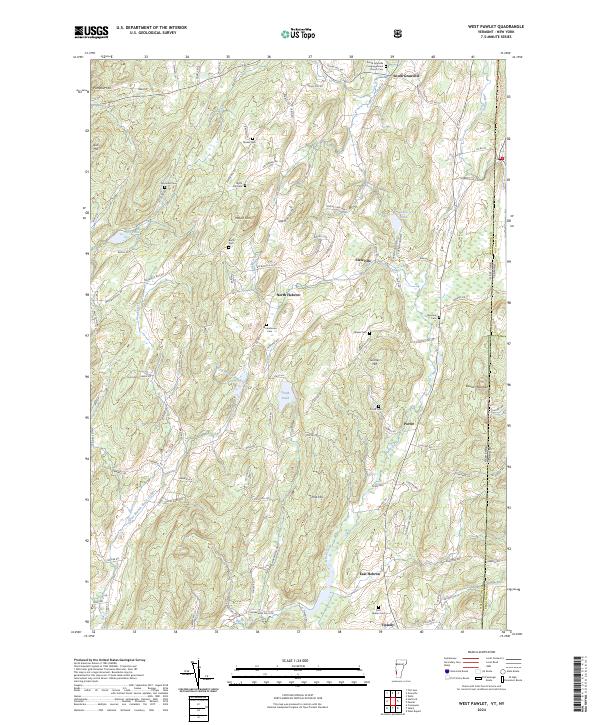
2024 Map of West Pawlet
USGS Topo · Published 2024About this map
South Granville and Slateville anchor the northern landscape of this border region, where the New York Vermont state line intersects the Washington Co Rutland Co boundary. The terrain is defined by prominent heights like Mount Tom, Grimes Hill, and Pumpkin Hill, which overlook a network of waterways including Black Creek and the Indian River. The presence of numerous family and community burial grounds, such as Tanner Cem, Reynolds Cem, and the South Granville Congregational Church Cem, provides significant data for genealogical research across these rural townships.
Find a feature on this map
106 named features on this map. Tap any name to fly to it.
Don’t see what you’re looking for? This feature index may not catch every label — zoom into the map to look around manually.
Map Details
Editions of this 2024 West Pawlet Map
This is the sole edition of this map. No revisions or reprints were ever made.
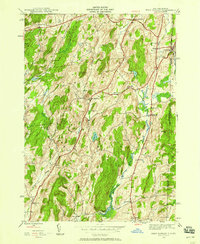
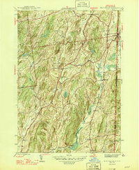
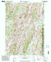
Historical Maps of Porter Through Time
4 maps found