Loading...
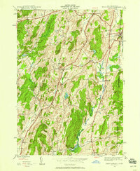
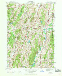
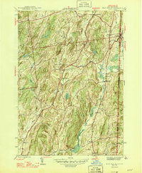
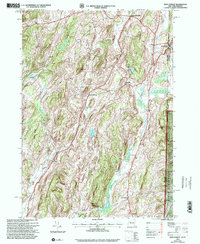
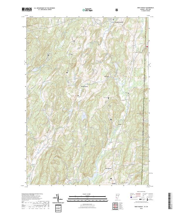
Loading map...1944 Map of West Pawlet
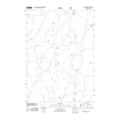
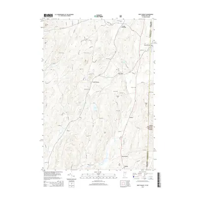
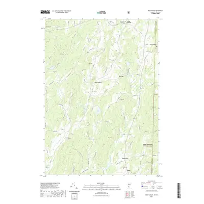
USGS Topo · Published 1969About this map
West Pawlet sits at the nexus of the Vermont and New York state line, serving as a focal point for the regional slate and agricultural economy during the mid-1940s. The New York Delaware and Hudson RR cuts through the eastern valley, tracing the path of the Indian River, while the surrounding uplands of Washington and Rutland Counties are dotted with small hill-country settlements like Slateville and North Hebron.
Find a feature on this map
40 named features on this map. Tap any name to fly to it.
Don’t see what you’re looking for? This feature index may not catch every label — zoom into the map to look around manually.
Map Details
Date Portrayed1944
Date Published1969
PublisherU.S. Geological Survey
Map TypeTopographic
Scale1:24,000
Physical Dimensions22 x 26.8 inches
Editions of this 1944 West Pawlet Map
2 editions found
Historical Maps of Granville Through Time
8 maps found

Featured Locations
Source Details
SourceU.S. Geological Survey
CopyrightPublic Domain