
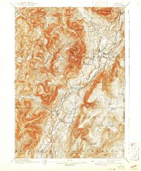
1900 Map of Equinox
USGS Topo · Published 1900About this map
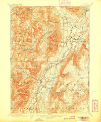
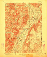
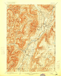
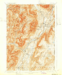
The Batten Kill valley serves as the primary artery of development in this 1894 survey, anchoring a string of settlements from Manchester Center down through Arlington. This corridor reveals a complex nineteenth-century economy where the valley floor supported rail commerce via the D & H R R, while the surrounding mountains were dotted with remote outposts and named landmarks. High-elevation features like Mother Merrick Mt and Shatterack Mtn hem in narrow notches such as Skinner Hollow and Frost Hollow, where small settlements like Beartown once stood.
Find a feature on this map
94 named features on this map. Tap any name to fly to it.
Don’t see what you’re looking for? This feature index may not catch every label — zoom into the map to look around manually.
Map Details
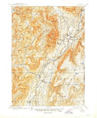
Editions of this 1900 Equinox Map
7 editions found
Other maps of this area

1889 · Wilmington
USGS Topo · 1:62,500

1891 · Wilmington
USGS Topo · 1:62,500

1893 · Wallingford
USGS Topo · 1:62,500

1893 · Fort Ann
USGS Topo · 1:62,500

1894 · Londonderry
USGS Topo · 1:62,500

1894 · Pawlet
USGS Topo · 1:62,500

1894 · Equinox
USGS Topo · 1:62,500

1895 · Cambridge
USGS Topo · 1:62,500

1895 · Fort Ann
USGS Topo · 1:62,500

1896 · Equinox
USGS Topo · 1:62,500